
Around this time of year I always get a bit keen for some exploration. Work is busy in the lead up the Christmas, so no chance to do it then. Even with some extra days off around the holiday time, there is nowhere close enough we can get away to that isn’t going to be packed with families enjoying the festive season. Nothing wrong with that, but, like most of us, I’m looking for something less busy.
So I normally just end up planning something for later in the year and doing some day drives.
So, after getting a bit carried away digging up the back yard my back cried enough and so we headed out for a bit of a drive not too far from home. Heading to the same area as this time last year.
Now with the added detail of the Hema mapping on the iPad and a bit of internet research beforehand I had some new trails to check out.
Time for some tunes on the way out. A bit of Oz Punk Pop Perfection from a few years ago. I would link the official VEVO but that edits out the swears, which kind of defeats the object...
So, in the name of balance, we hit three dead ends before getting on a road that led to the coast. Sometimes the road ran into private property, sometimes it was too water logged to traverse without damaging it excessively, sometimes it just didn’t exist. I just mention this as you have to take the rough with the smooth, and be prepared to change anything and everything as you find it on the ground. Extra reading on this topic here.
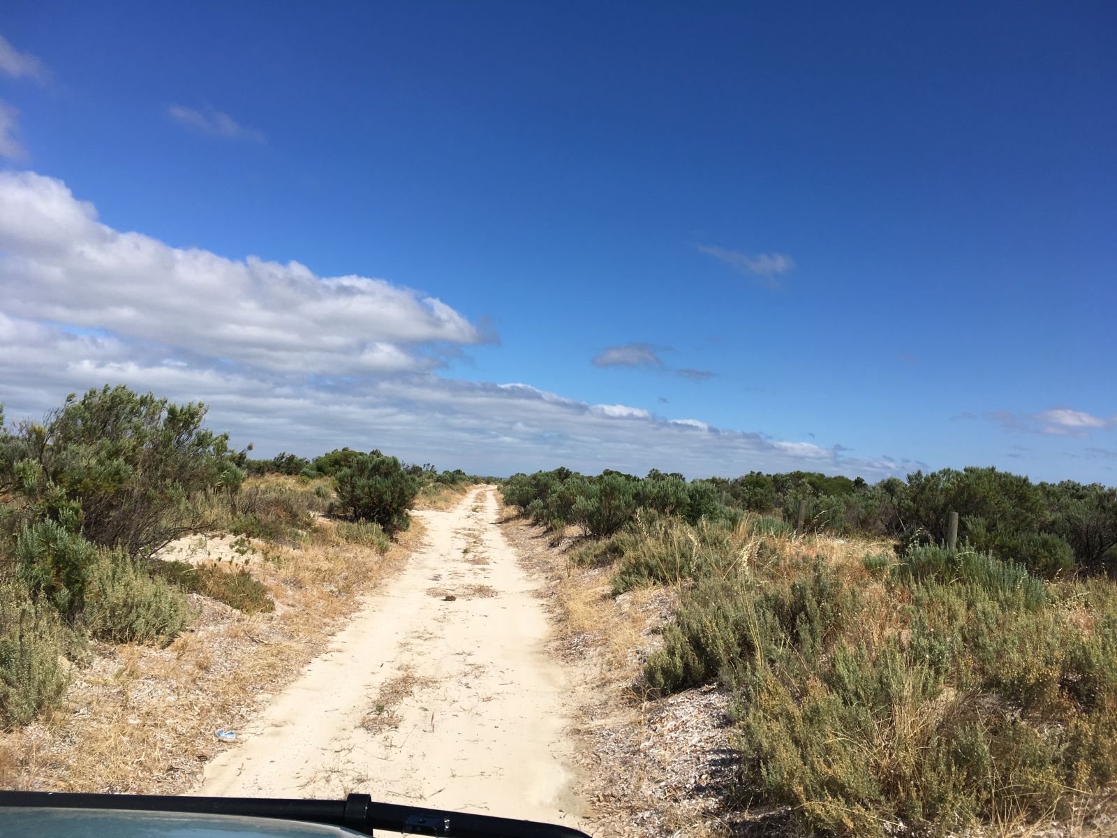
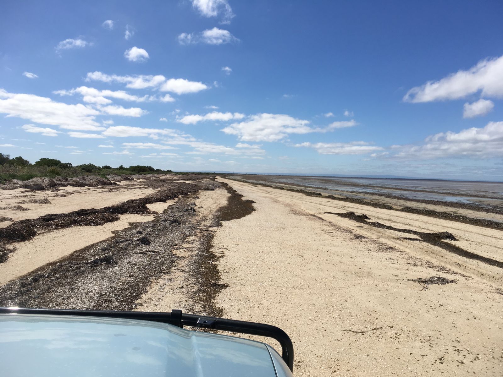
However, eventually we lucked in on the road to Port Prime. A rough and stony road on the way out, eventually led to water logged sandy sections as we got towards the coast. A firm bottom (who doesn’t like a firm bottom?) meant splashing though these pools was easy.
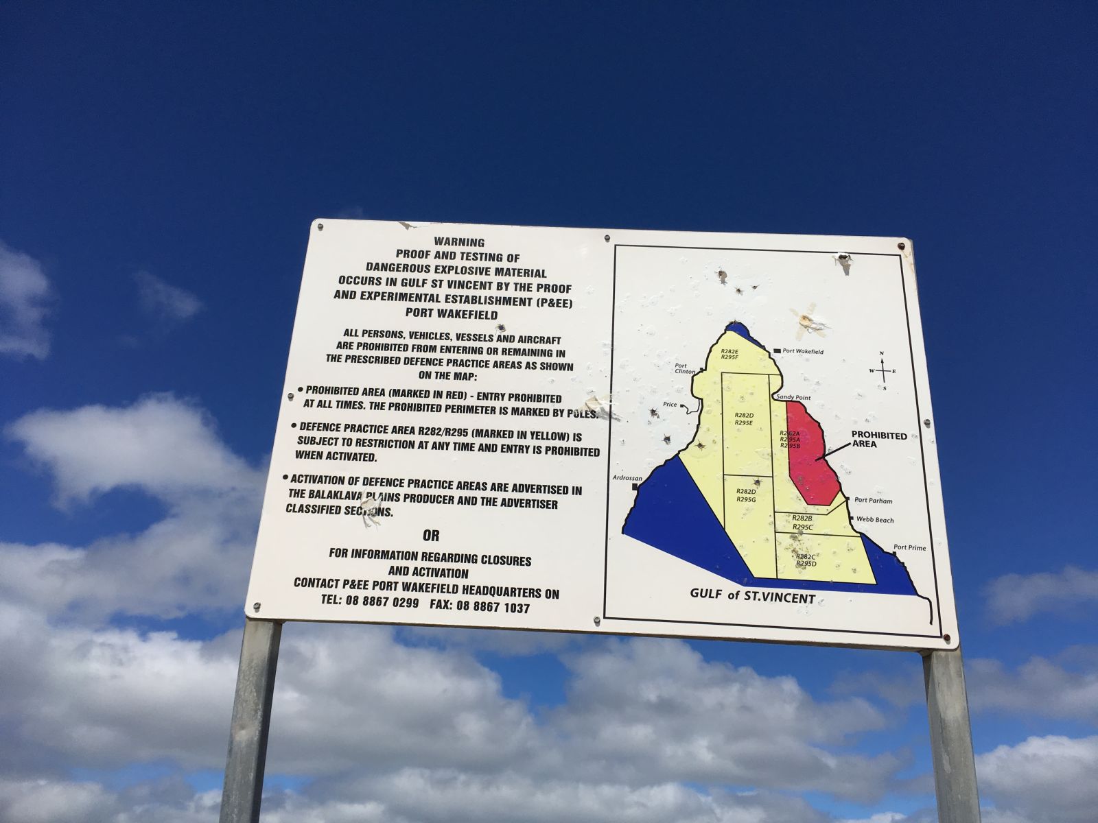
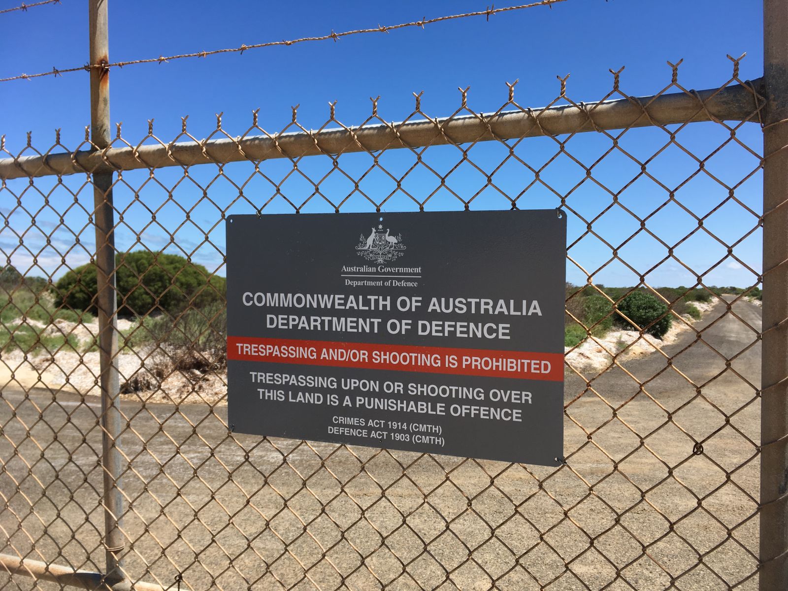
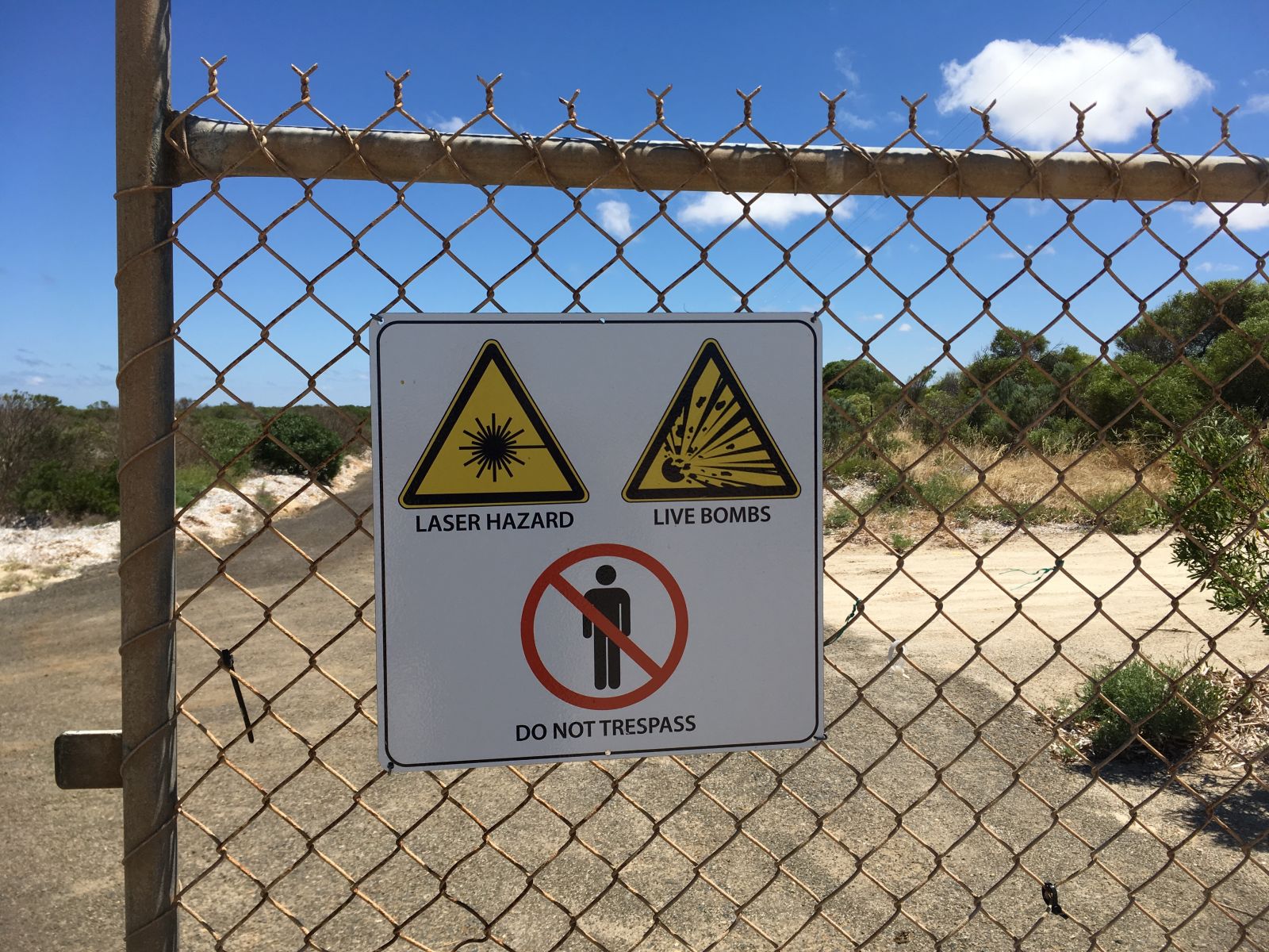
Large swathes of land and sea are Defence Reserved areas out here. The coloured in areas are sea, you can see Port Prime in the lower right corner of this map.
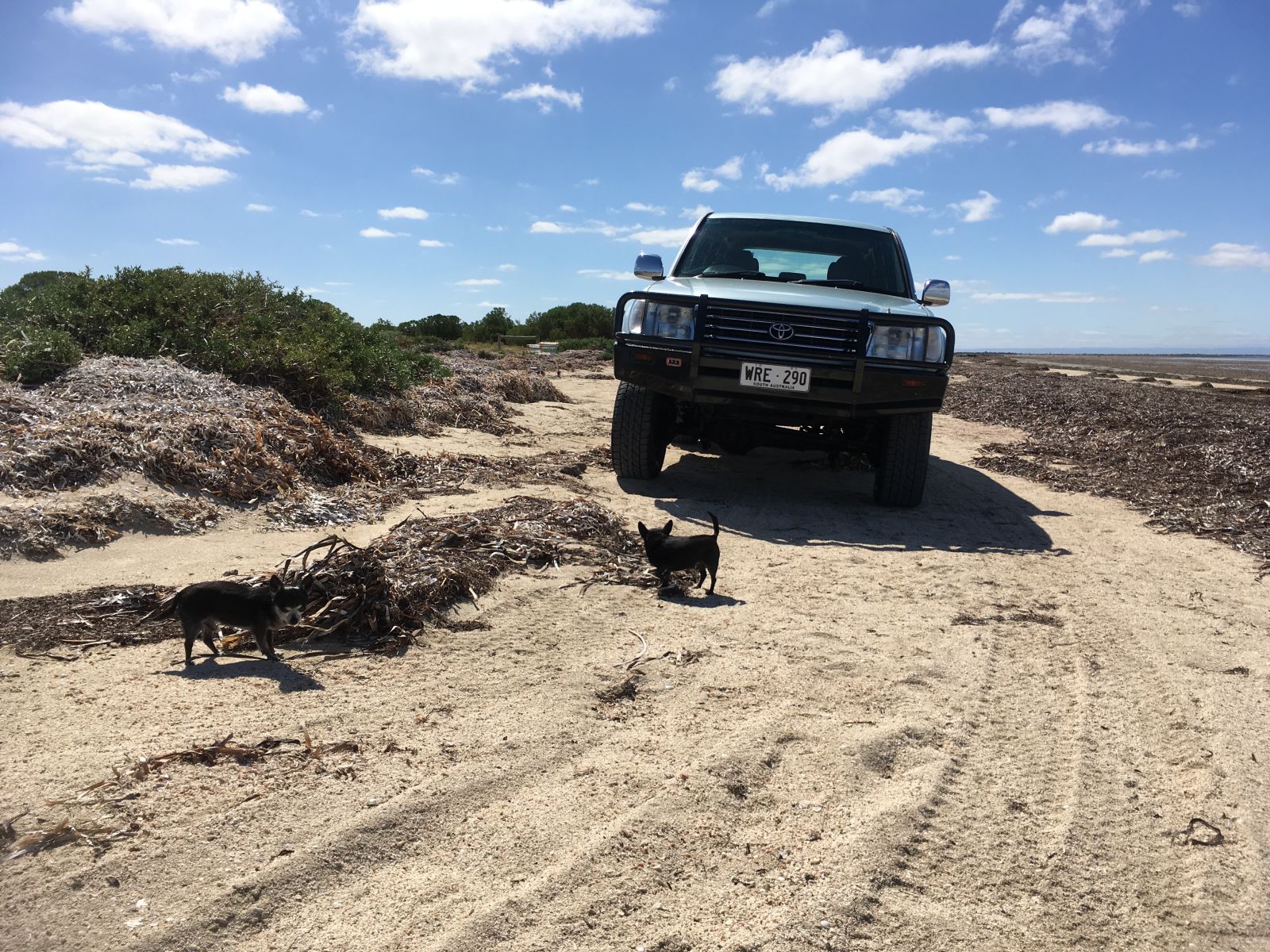
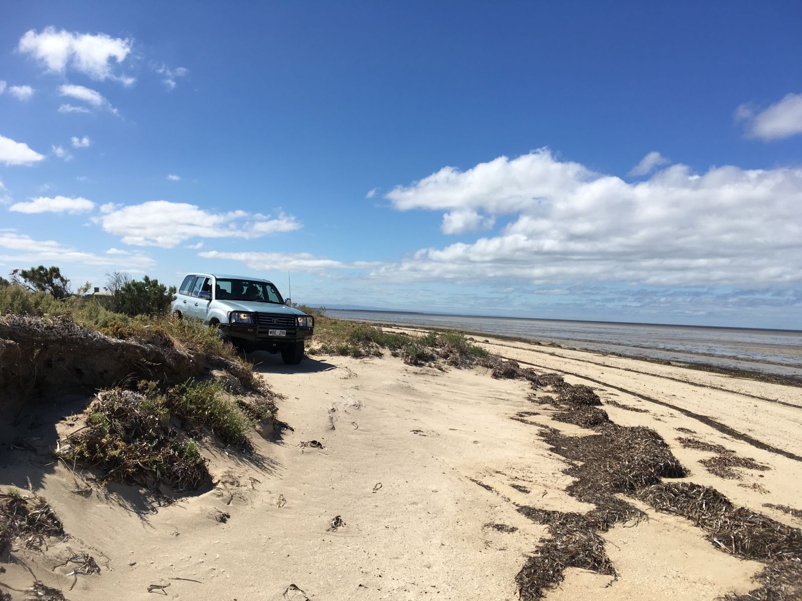
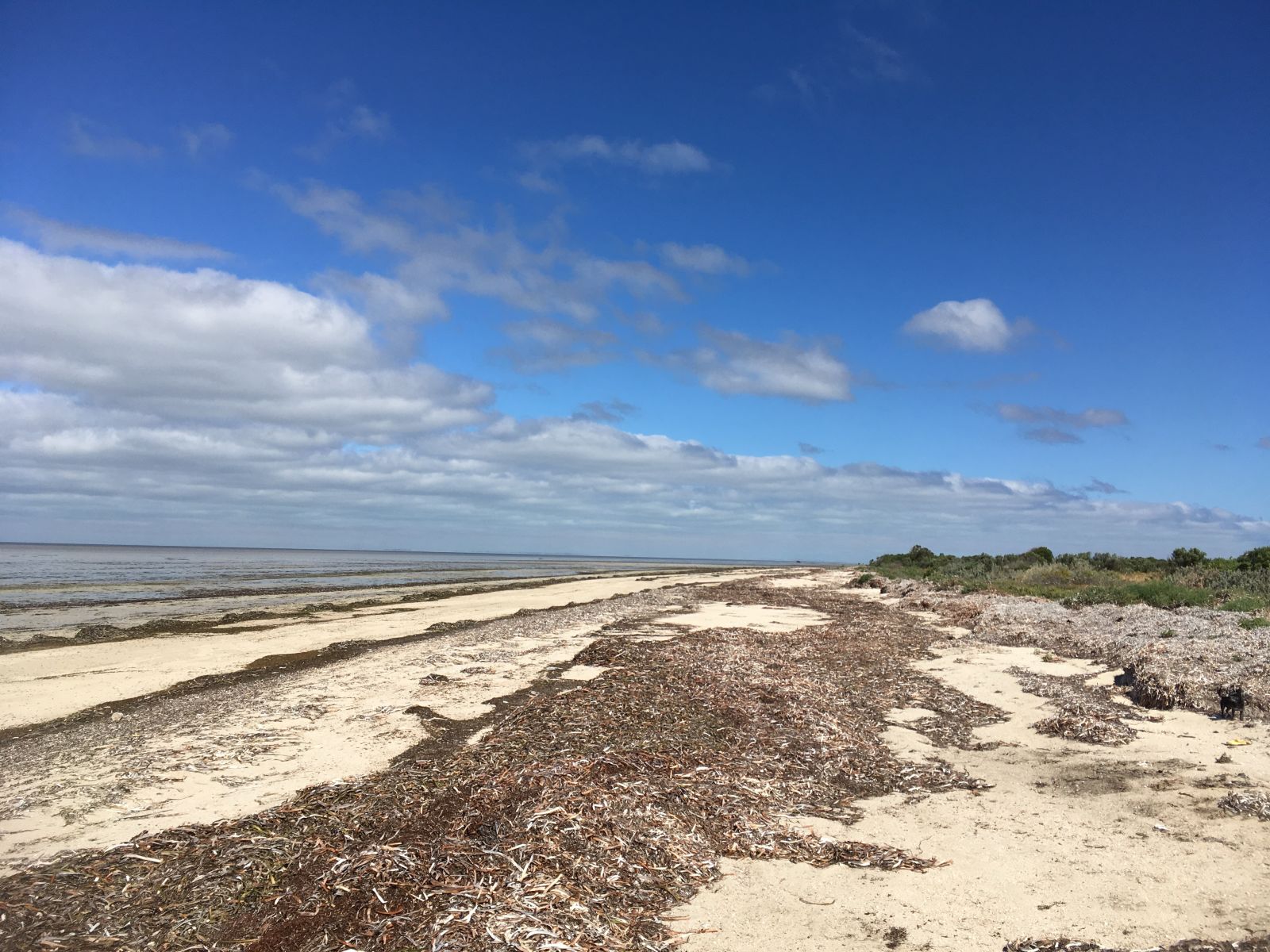
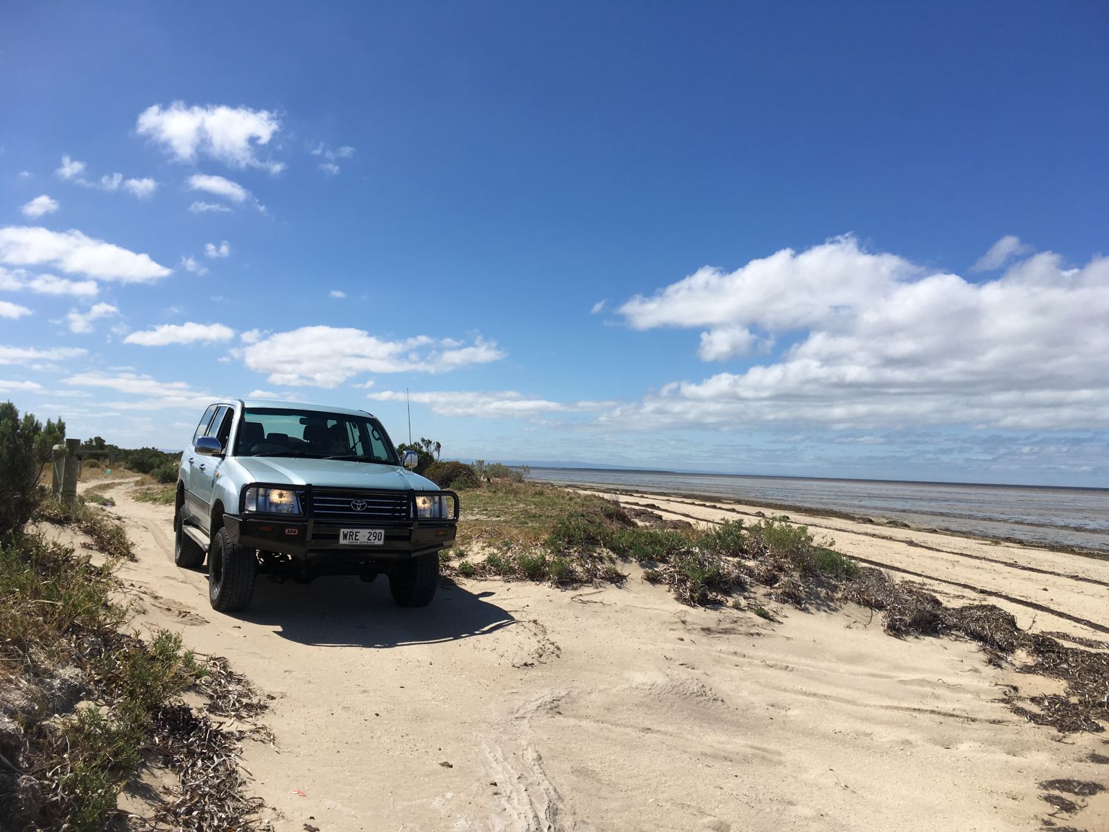
The track eventually spits you out on a deserted beach.
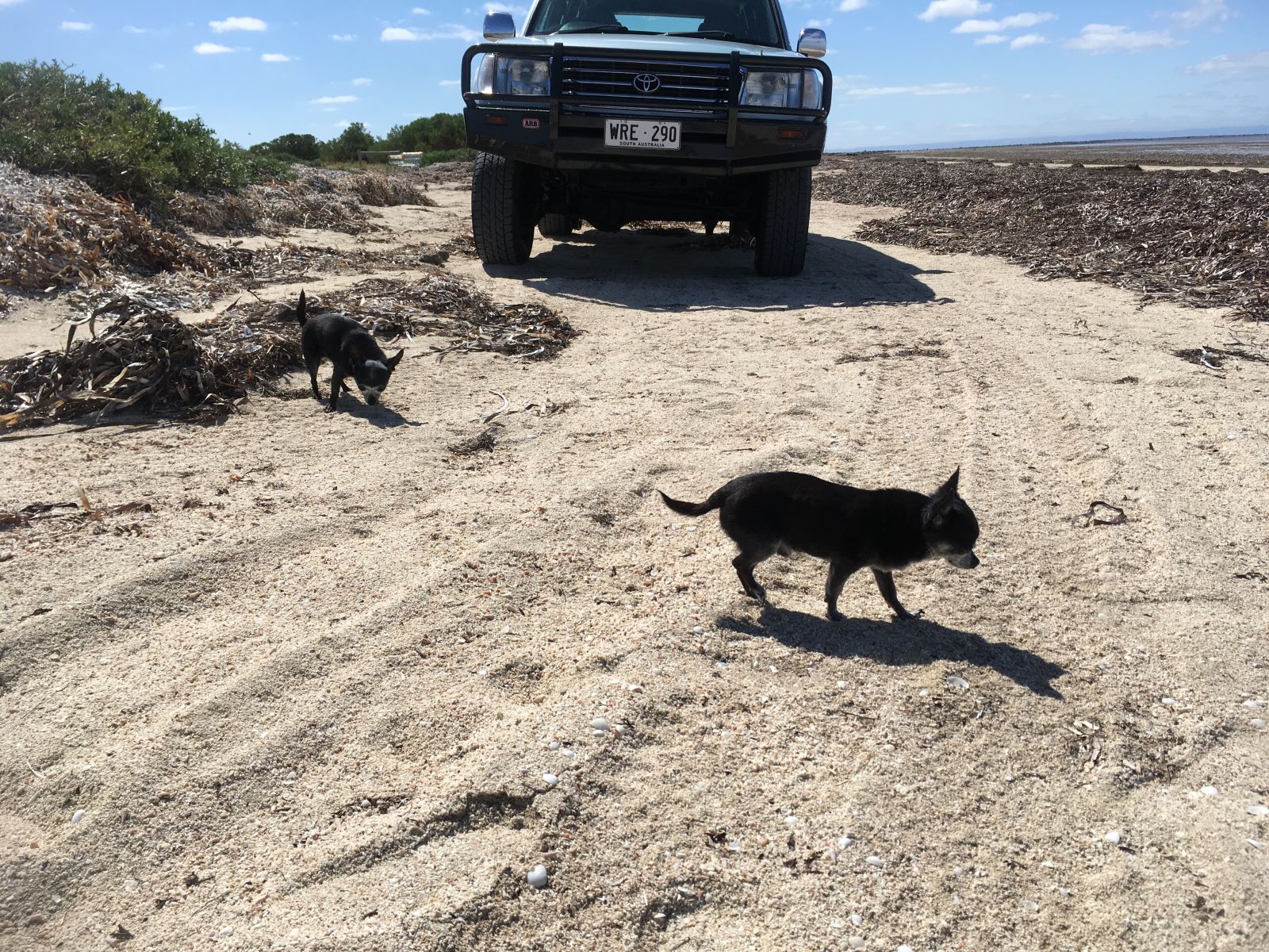
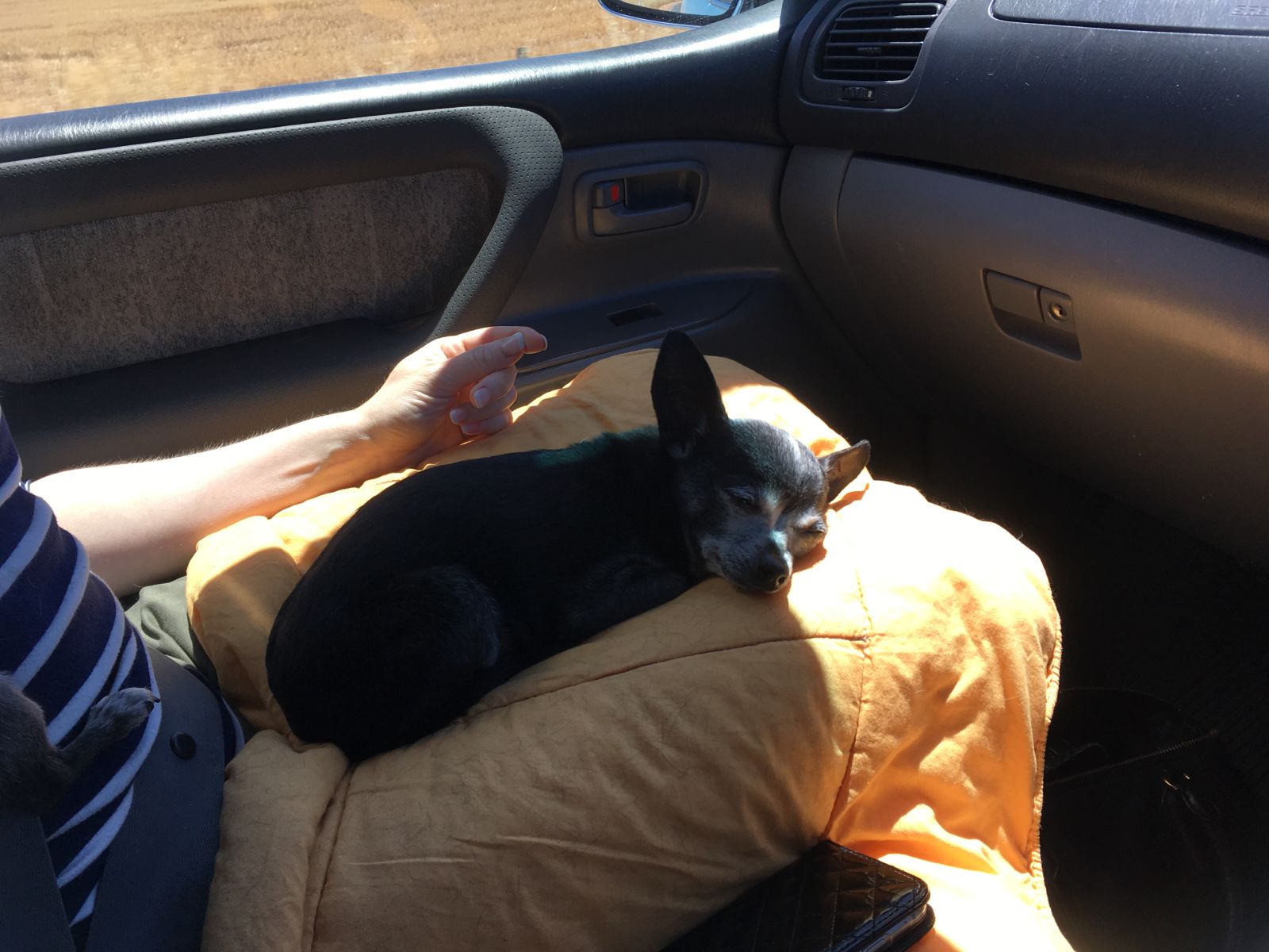
Time to unleash the wolves.
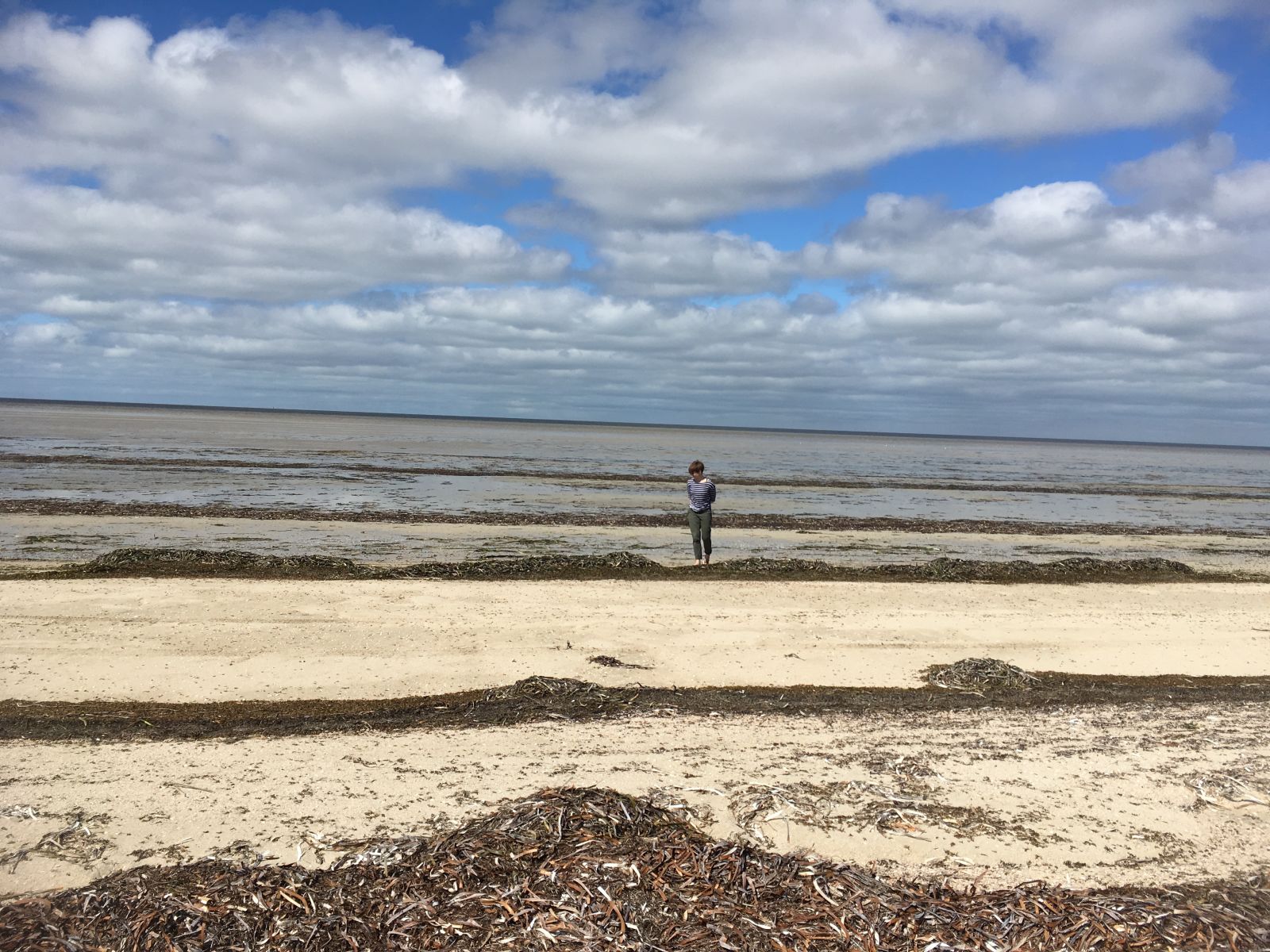
N has a wander to find us some crabs or pipis for dinner.
Took this side track alongside the beach.
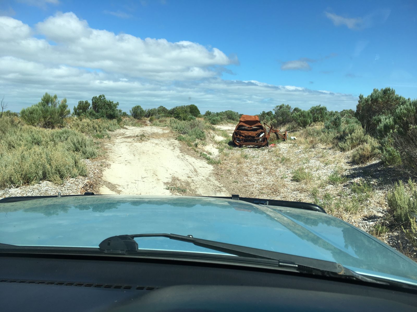
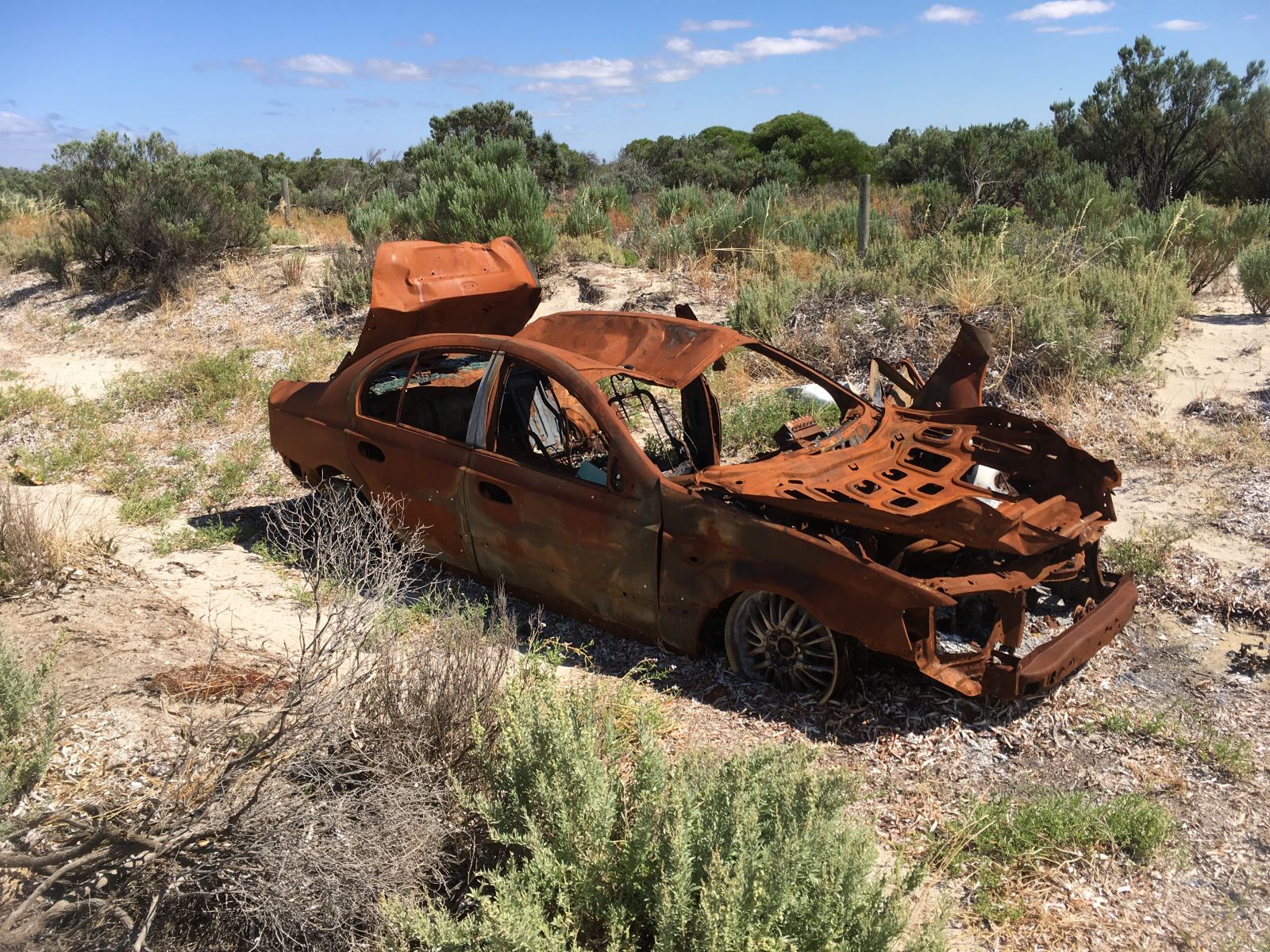
Not all good out here.
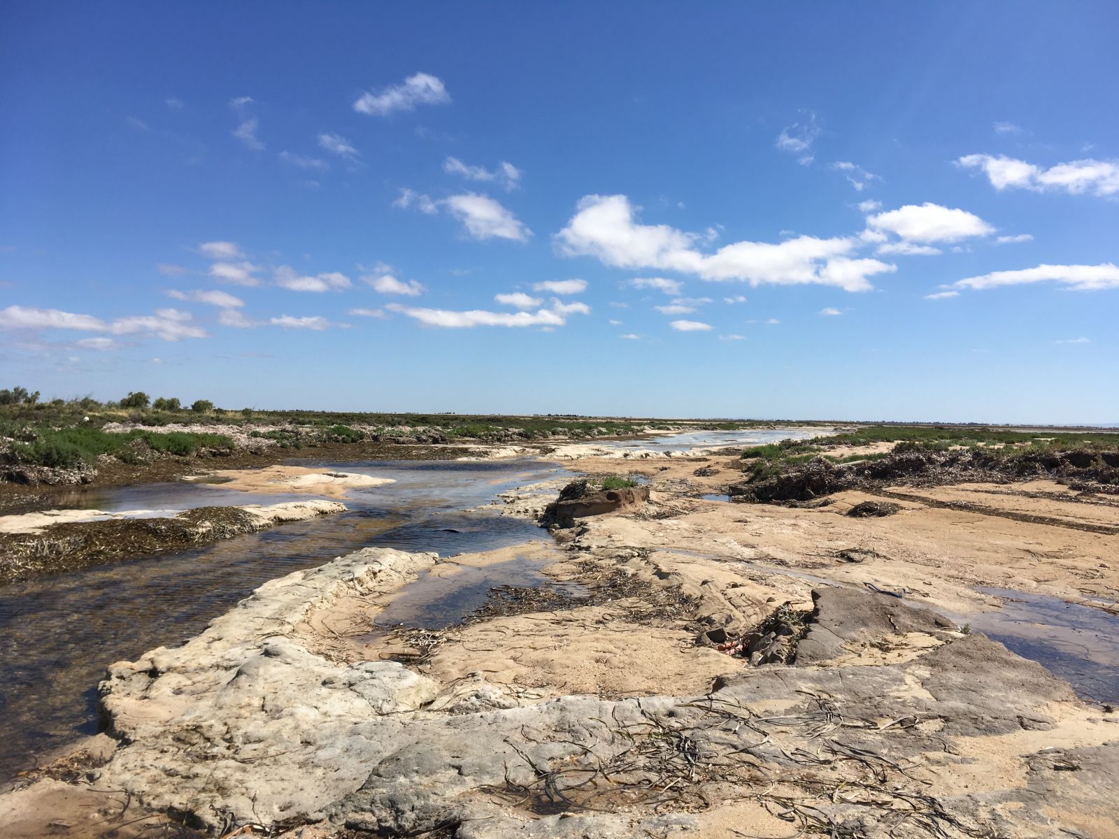
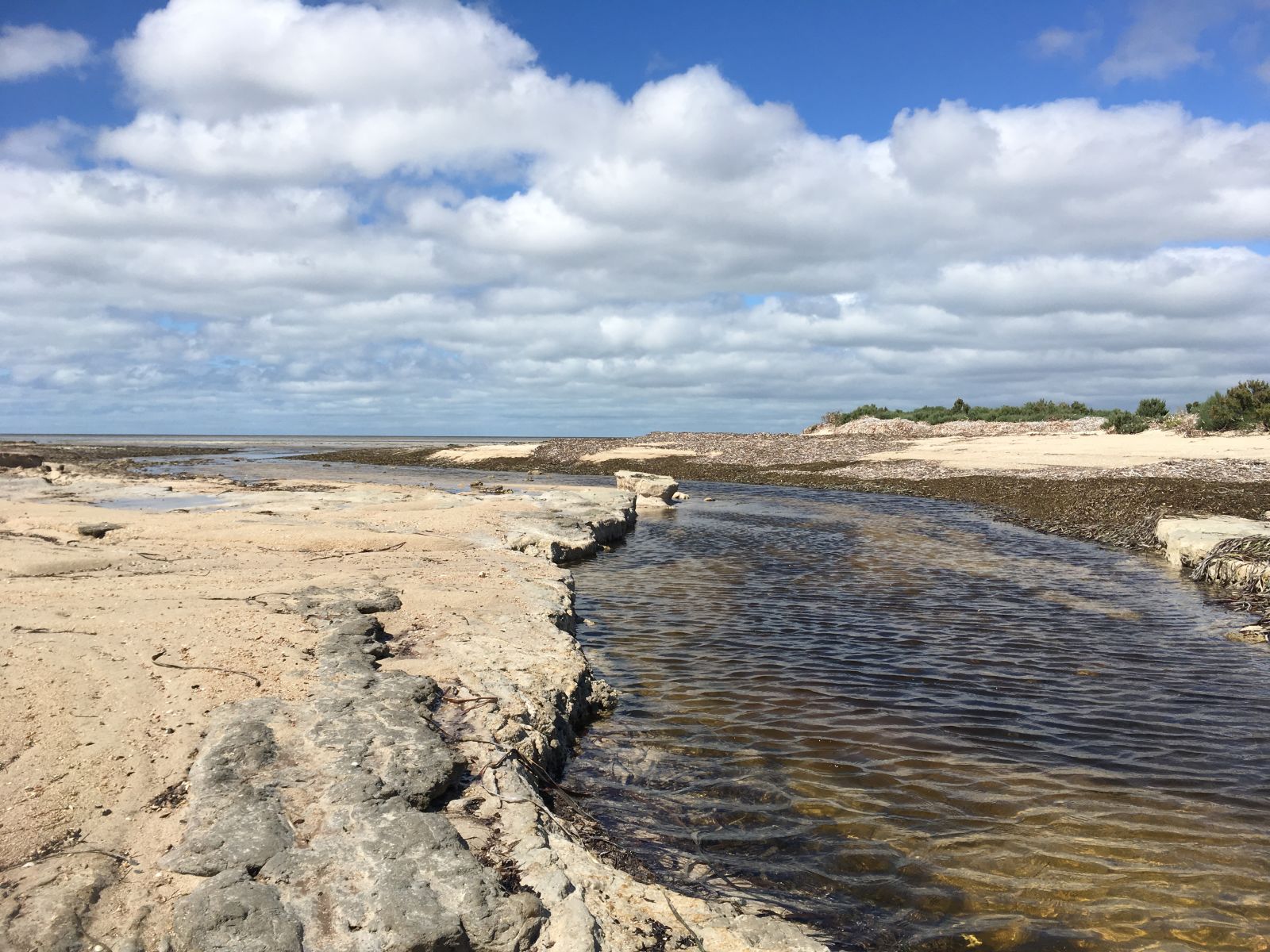
Which led to this very pretty tidal inlet.
Someone had a sense of humour.
I had a walk to see if the track continued on the other side of the inlet, I couldn’t see anything, so no point giving the truck a salt water bath for no reason. We looped back round on the beach, and headed out.
We headed back to a junction where we had seen another track heading off. You used to be able to drive from here round to the ‘shack’ community of Thompsons Beach, which we visited last time we were out this way. That track was closed due to large amounts of dirt bikes, quads, etc, using it. There are many signs up to this effect in the area, also ones about not driving un-registered vehicles, ie; SxS, quads, etc.
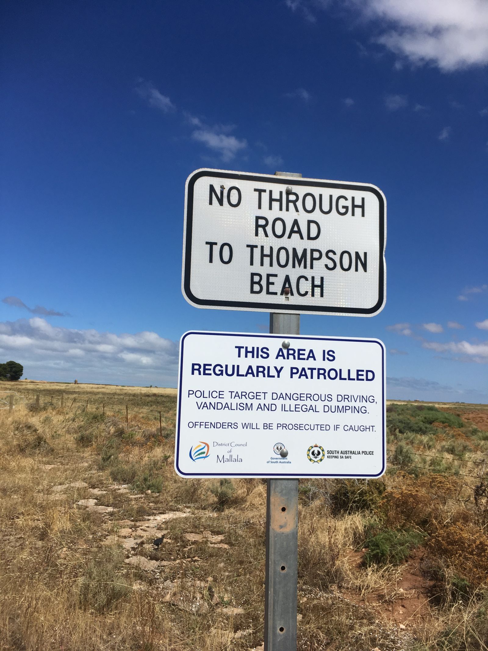
Unfortunately this is the fate for any decent off road trail anywhere near the city. It just gets abused and then shut. I’m sure it’s the same in many parts of the world.
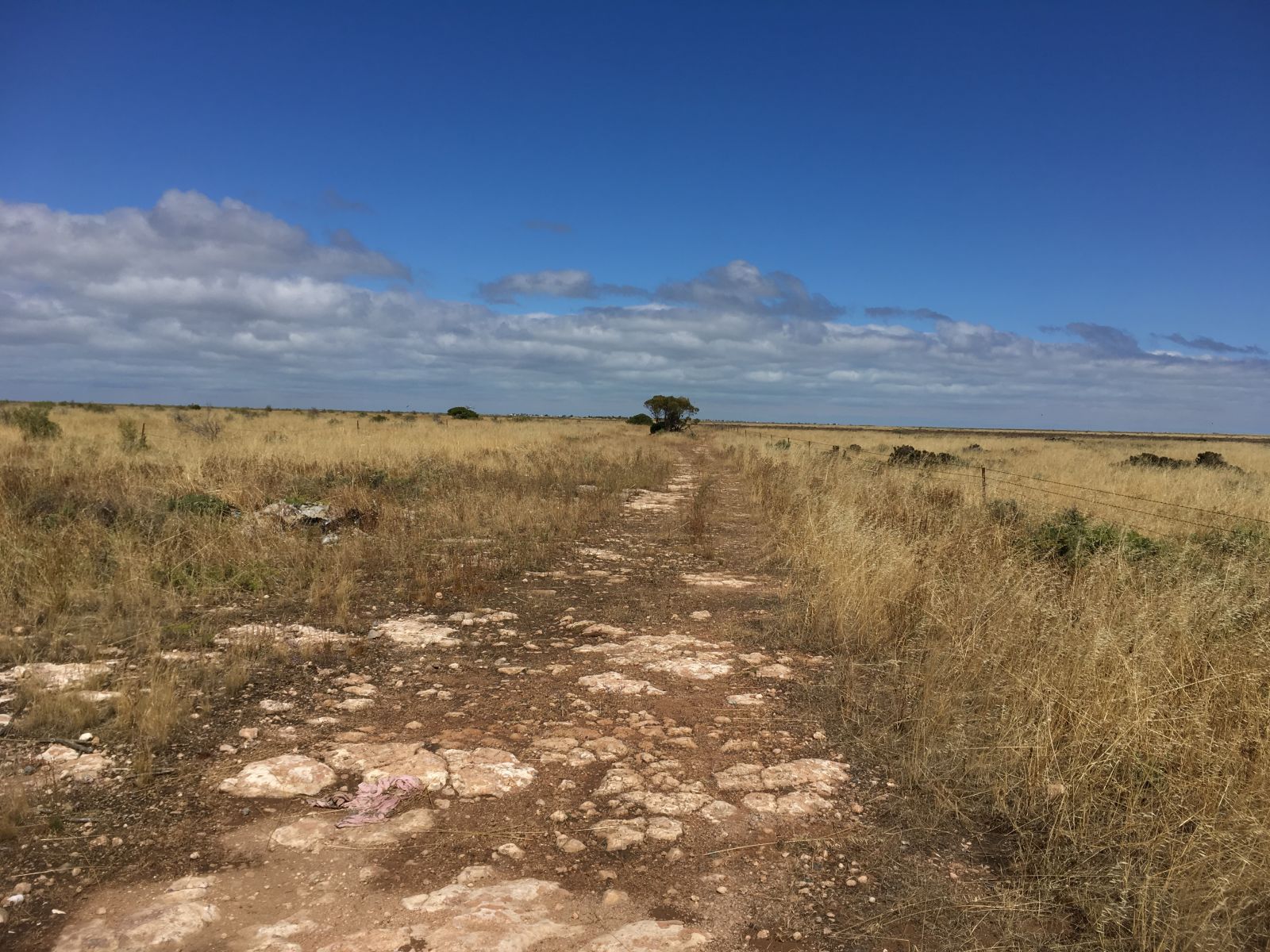
Anyway, still worth a look. This one was slightly less well travelled, suits me.
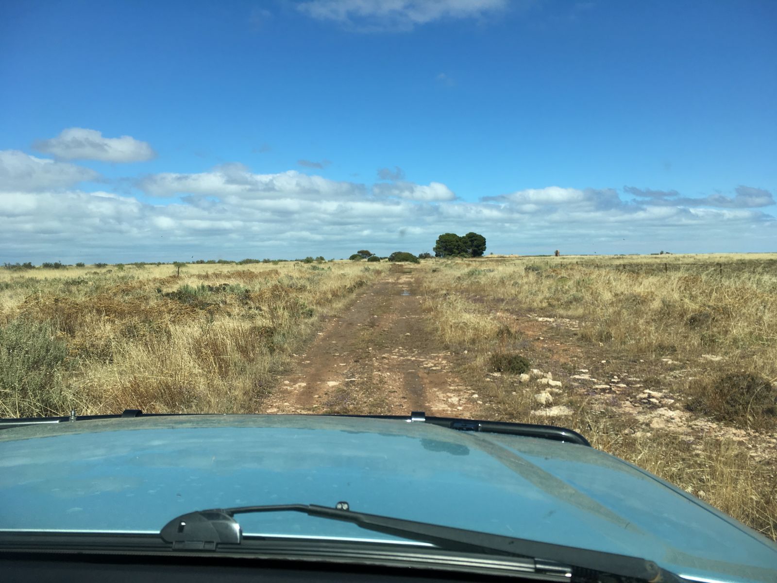
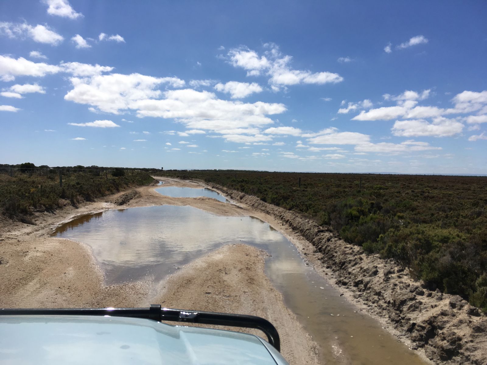
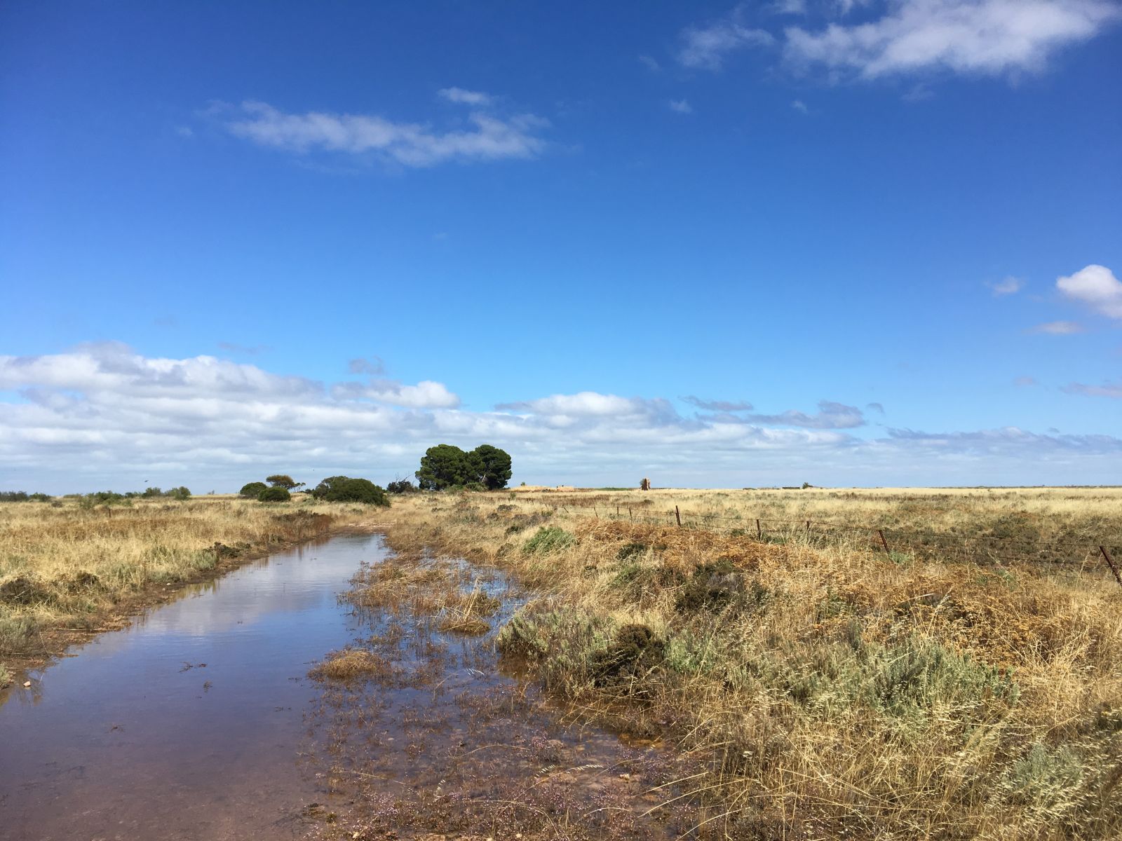
All this unseasonal rain on such a flat plain has left a lot of standing water, I got out for a quick look at this puddle, but a rocky base told me it was going to be no worries.
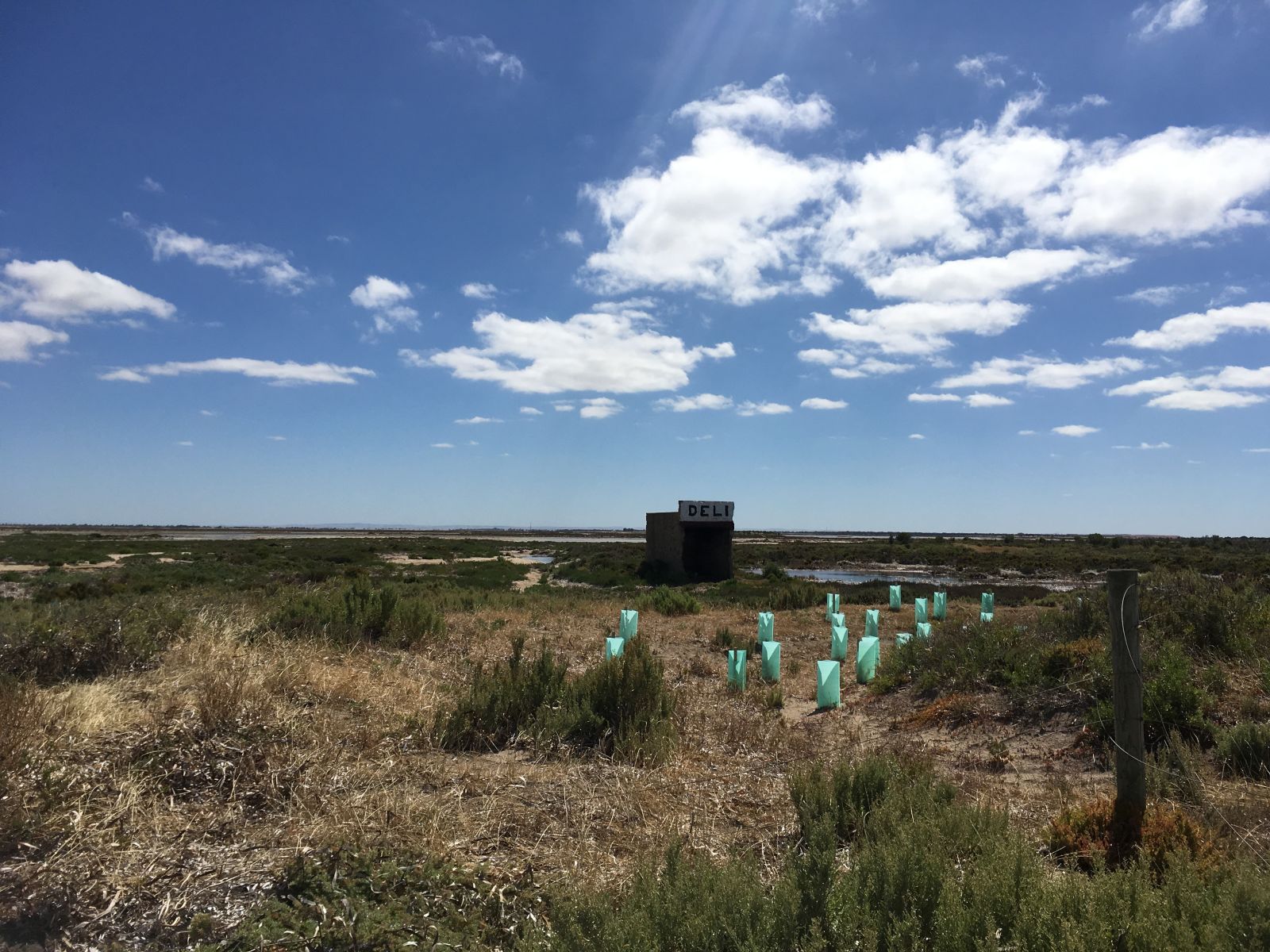
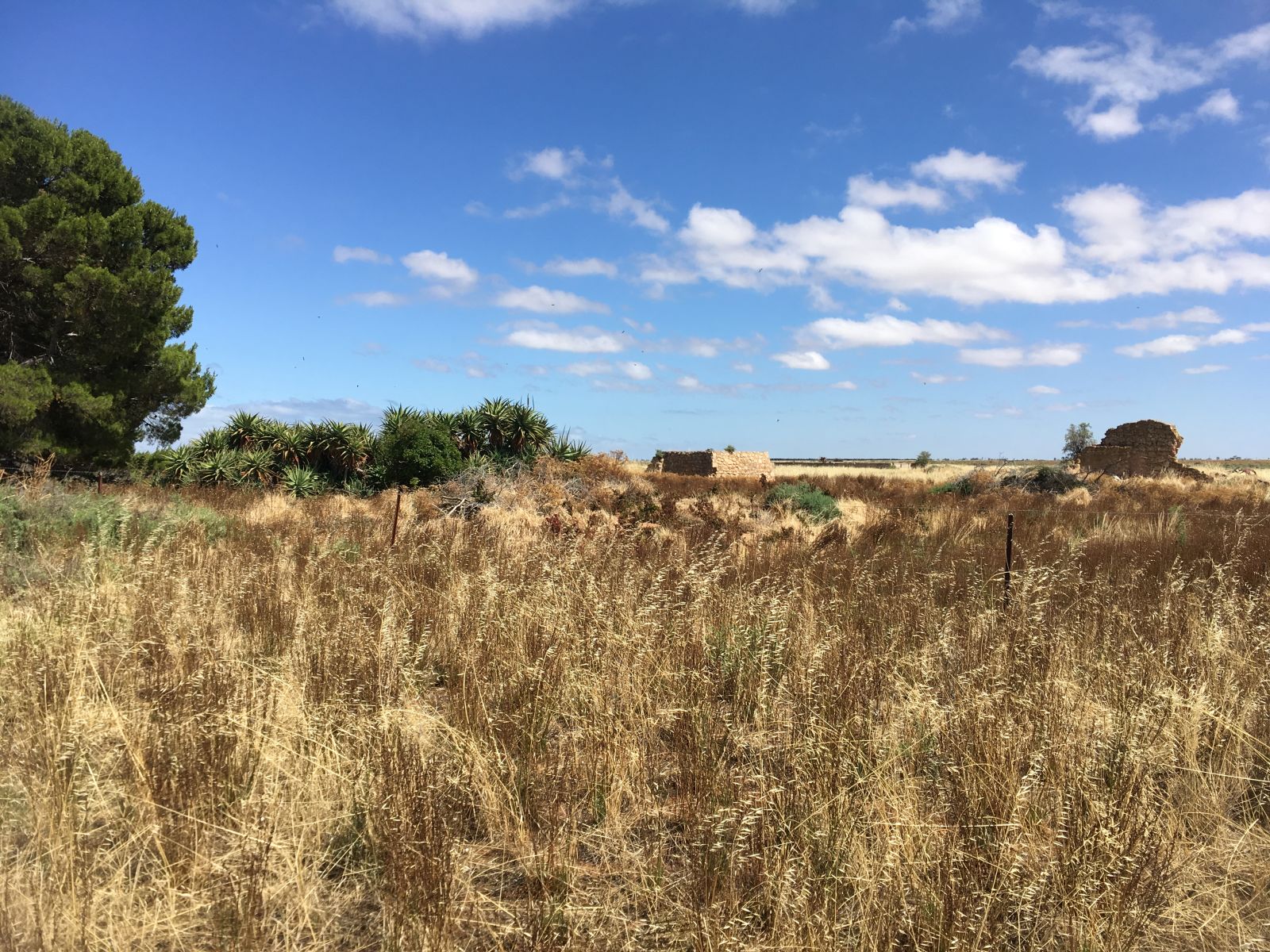
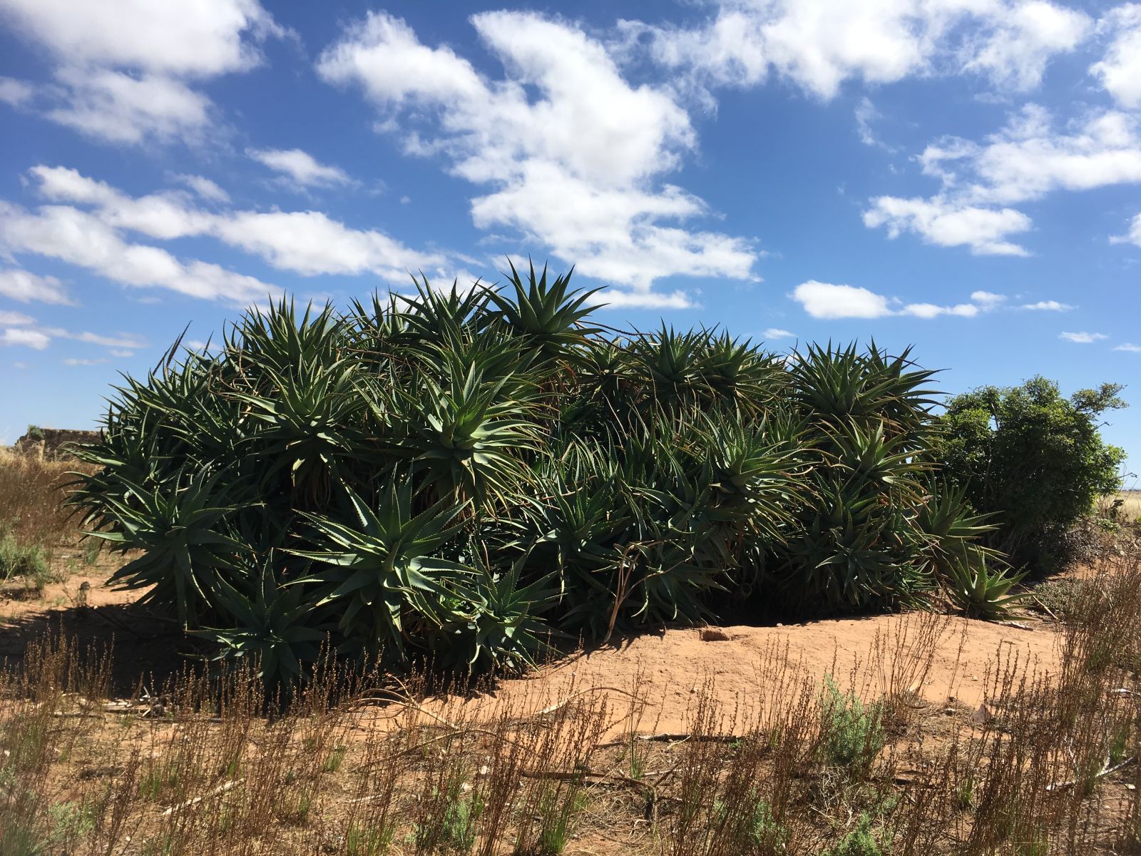
Some ruins and a mad Agave type cactus were cool.
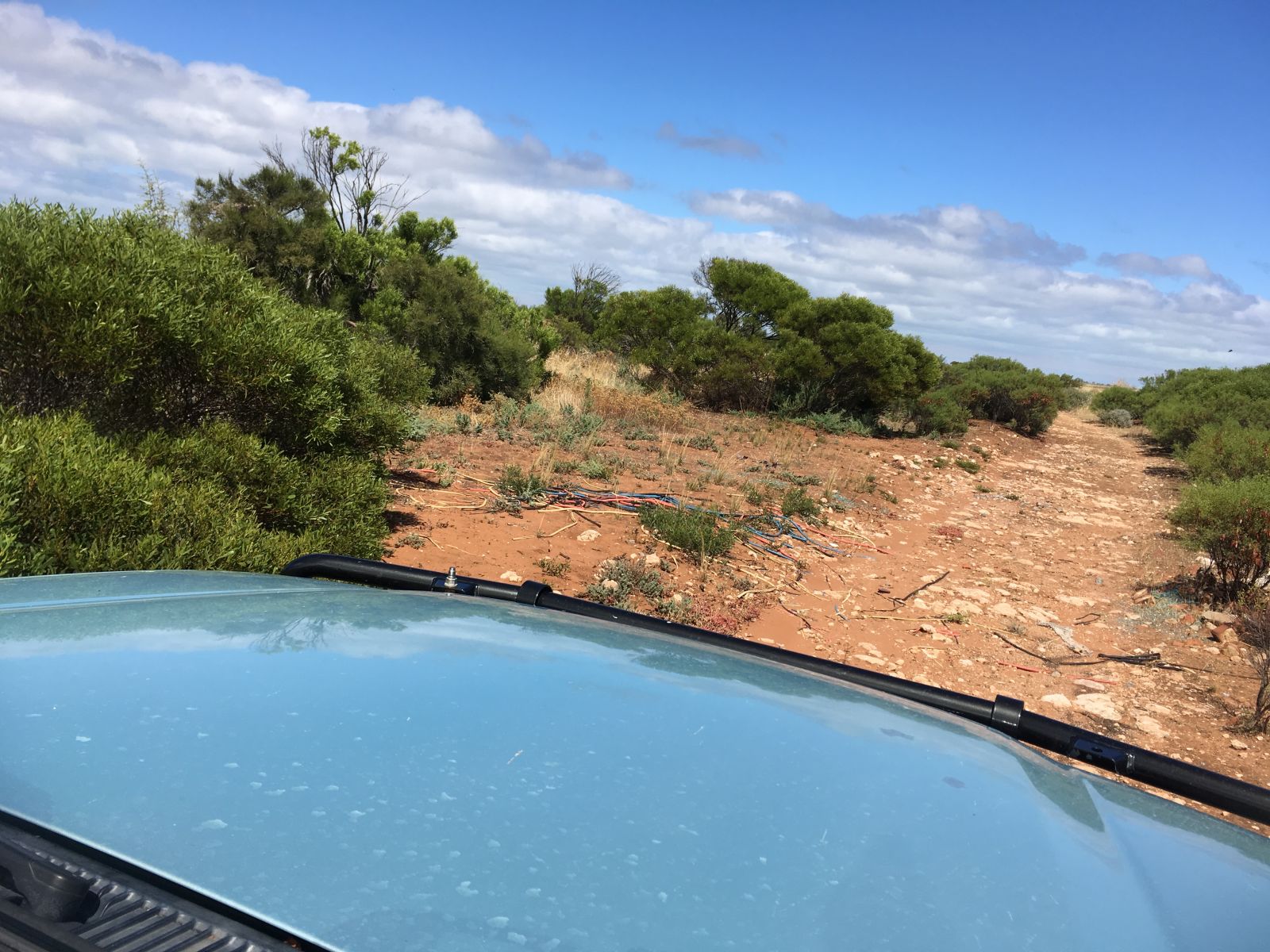
There was a lot of dead tall plants and grass on the trail. So I was super aware of where I was stopping, and having a quick check under the truck to make sure we didn’t have any build up. There was a reasonable breeze today. Fire would spread quickly.
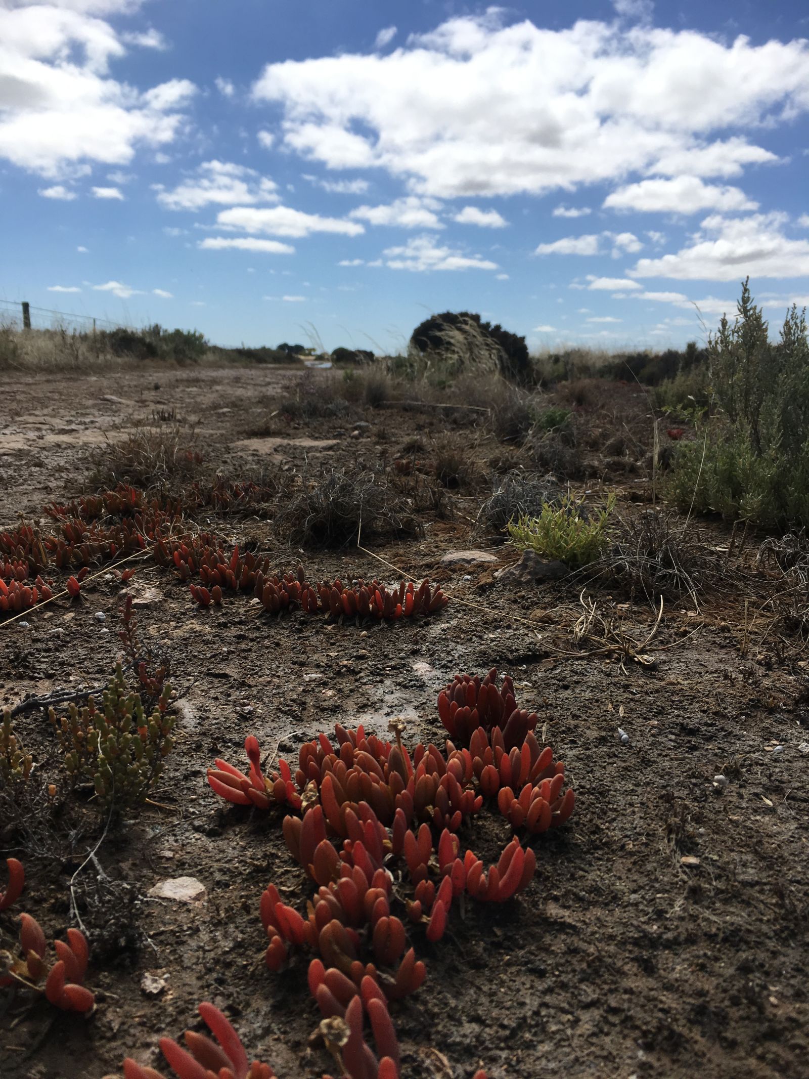
More evidence of unscrupulous activities.
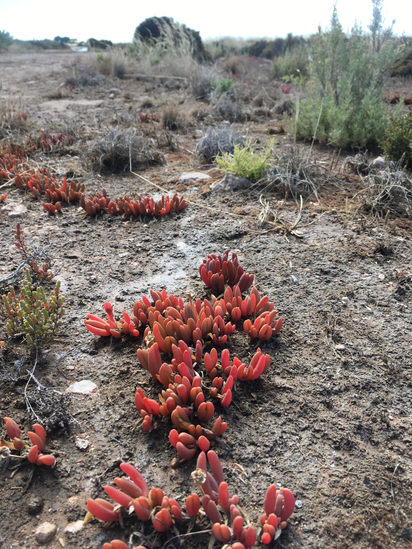
Although beauty too.
I like this area. The fact that is only an hour from home obviously helps. However it has a unique feeling about it. Only a few km from the main highway, yet you quickly feel very remote and isolated. We only saw one other vehicle, a couple of mates in an early Kia Sorrento, which would be perfect for exploring these trails. There is also a surreality about it. Partially because it’s obviously bad-lands to an extent, the dumping of cars and stolen shit, but also just the general vibe of it. A lot of the land is used for growing crops, but half of it looks like they tried and then just gave up. Half of the houses are looking possibly abandoned, then you have new McMansions built in the middle of big farming plots. Some large corporations too, owning great bites of the land. Plus big skies, being so flat, big ass skies... I think maybe it’s just because we are from the UK that we find these aspects appealing. It’s VERY different. I haven’t offered to bring any of my Aussie mates out here yet. Not sure they would see it with the same eyes I do.
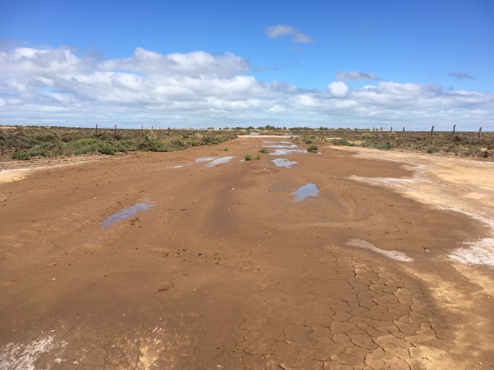
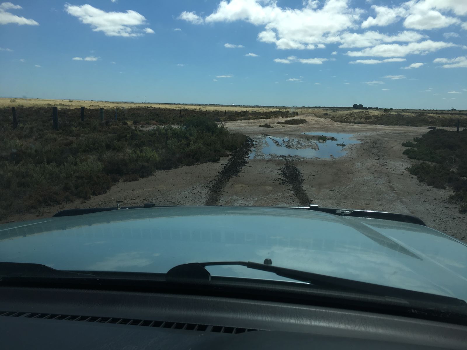
We were starting to hit standing water again, no probs, still rock here.
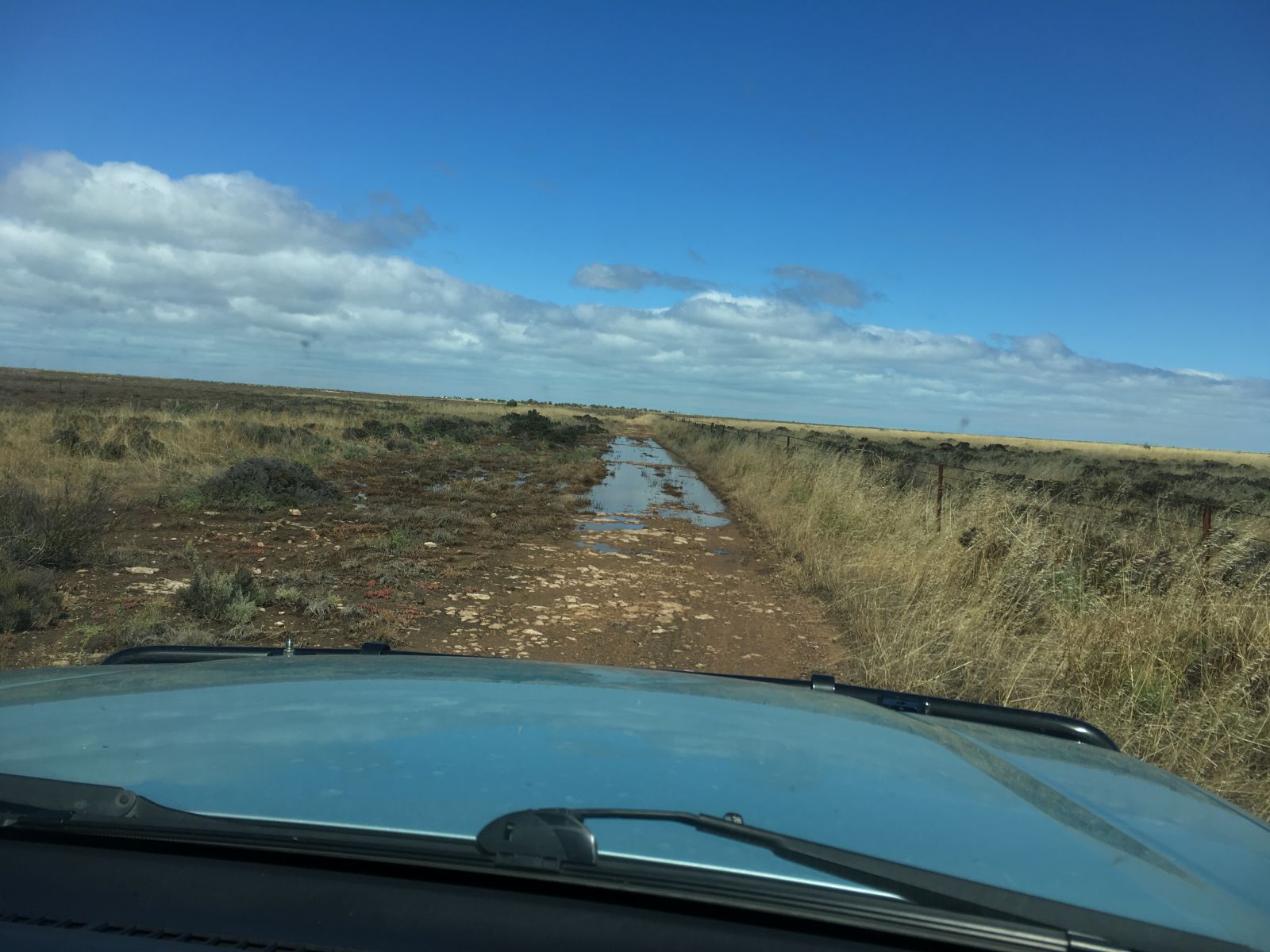
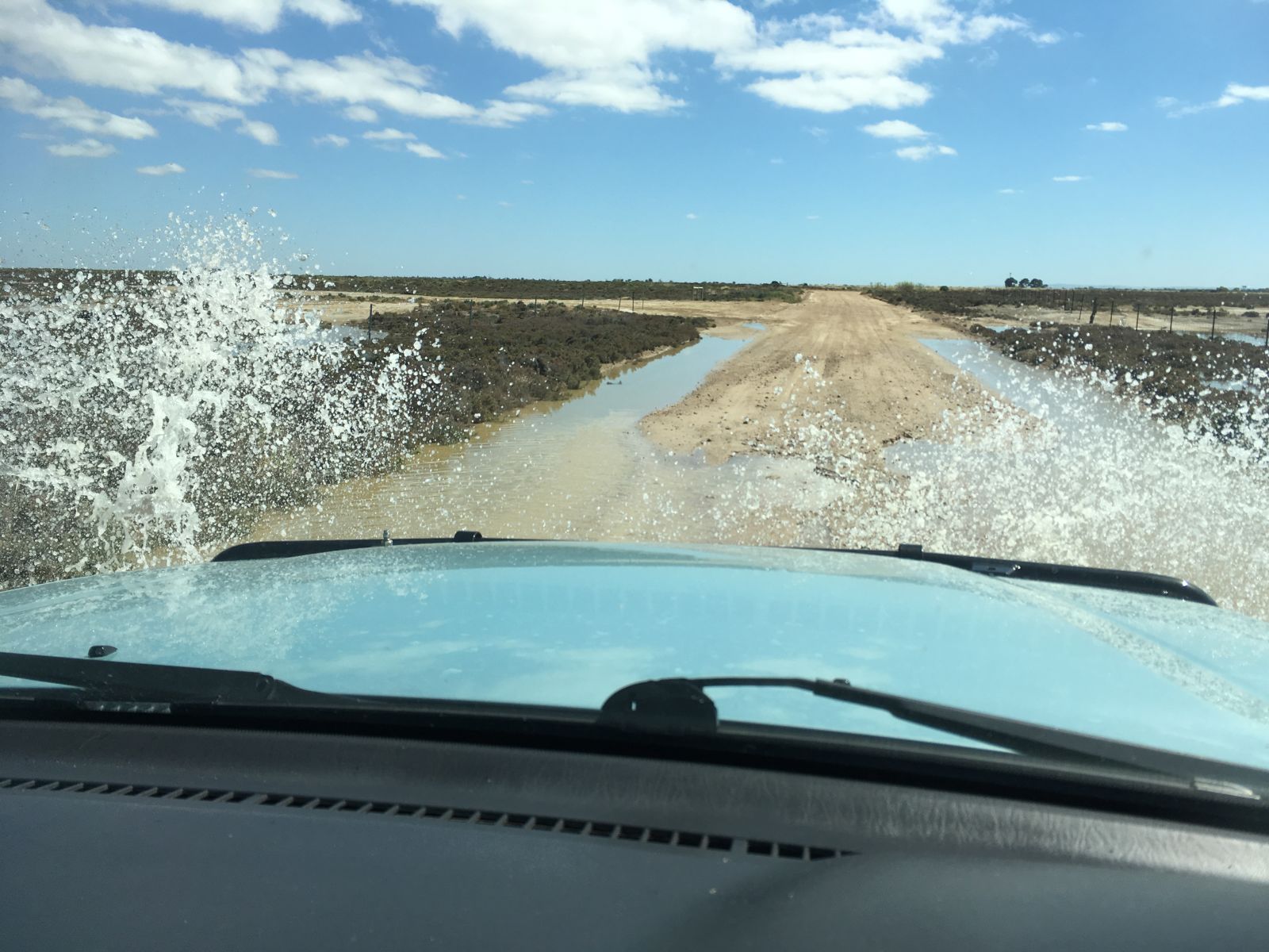
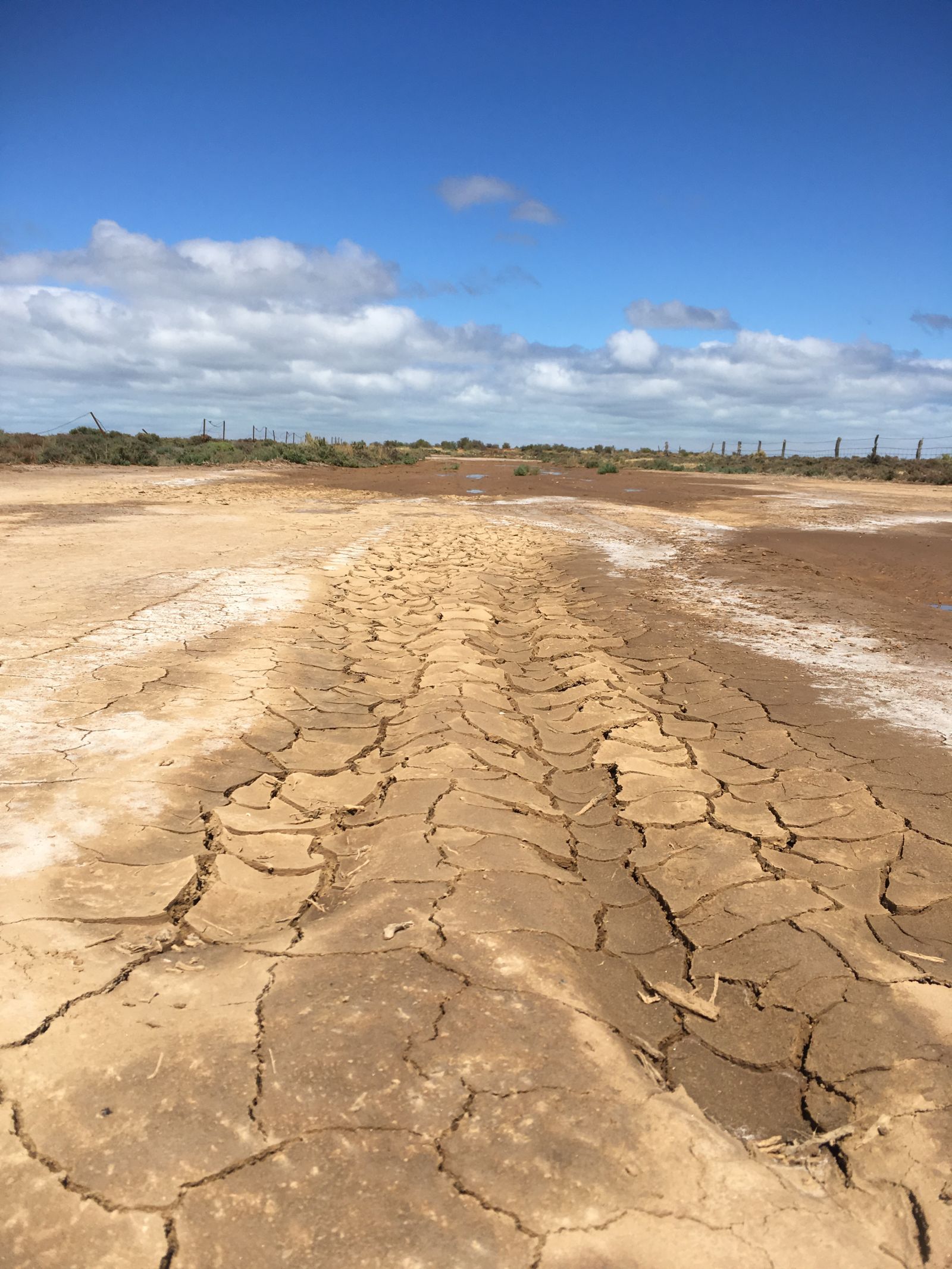
Then, the surface changed. The truck was now sliding noticeably as it broke through the crust. Rock base had given way to silty sandy mud.
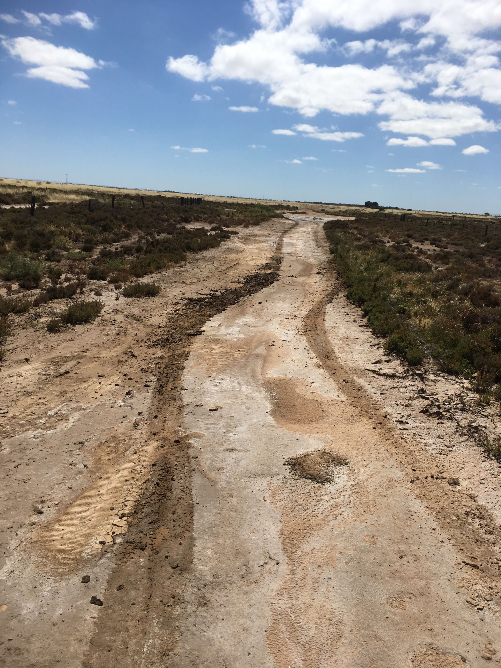
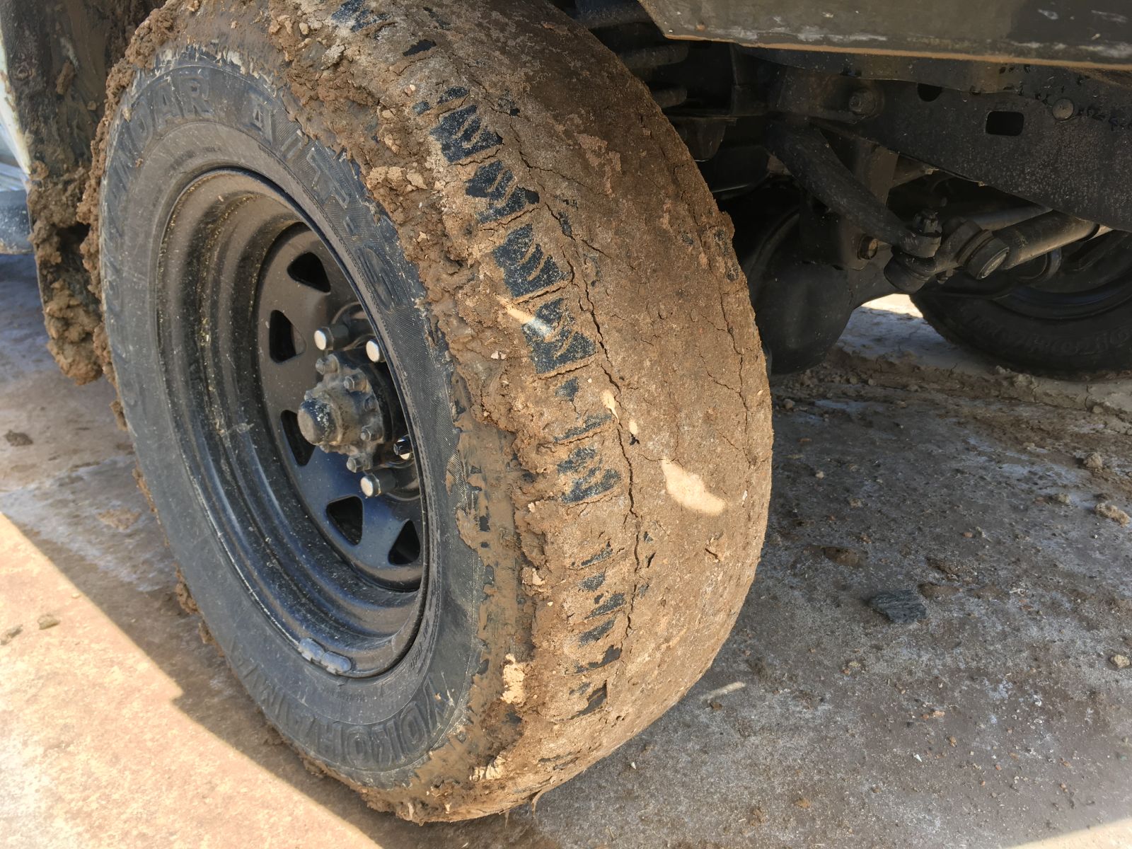
Hmmm, let’s get out and have a look. Tyres clogged? Check.
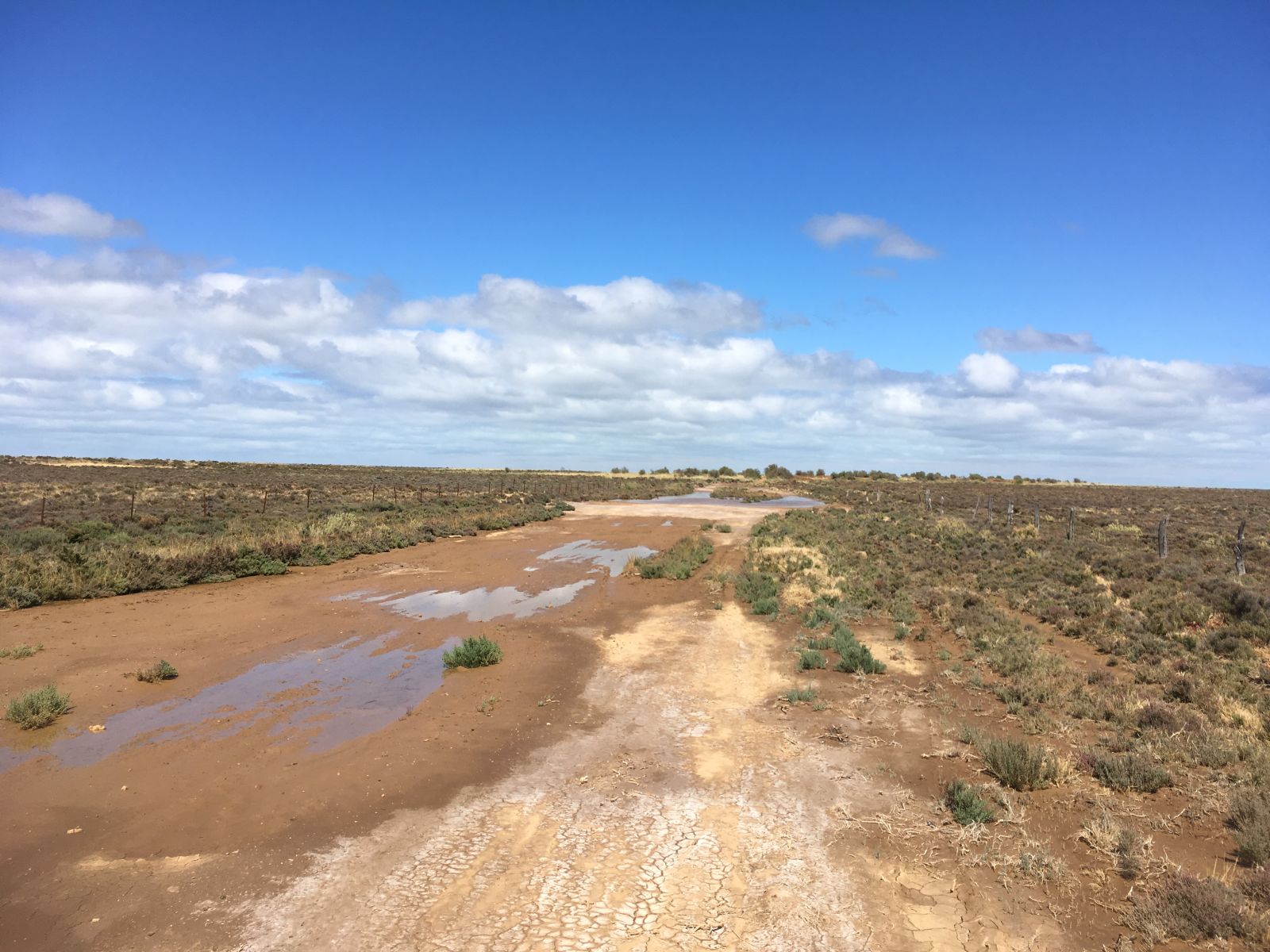
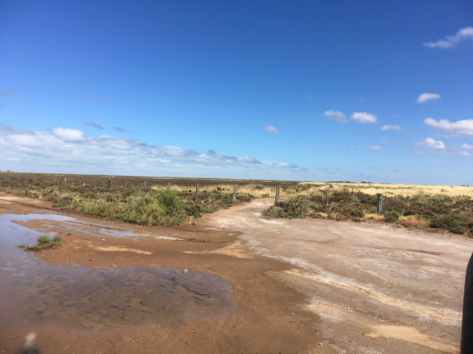
That was just from that little section. This was in front of us.
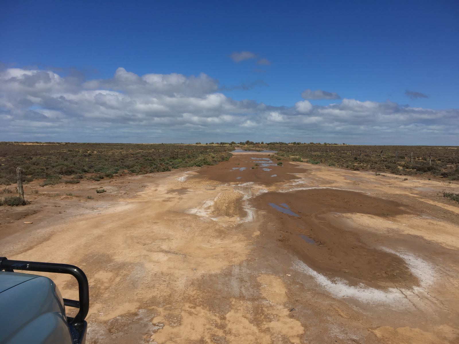
With a decent pool at the end of that muddy section.
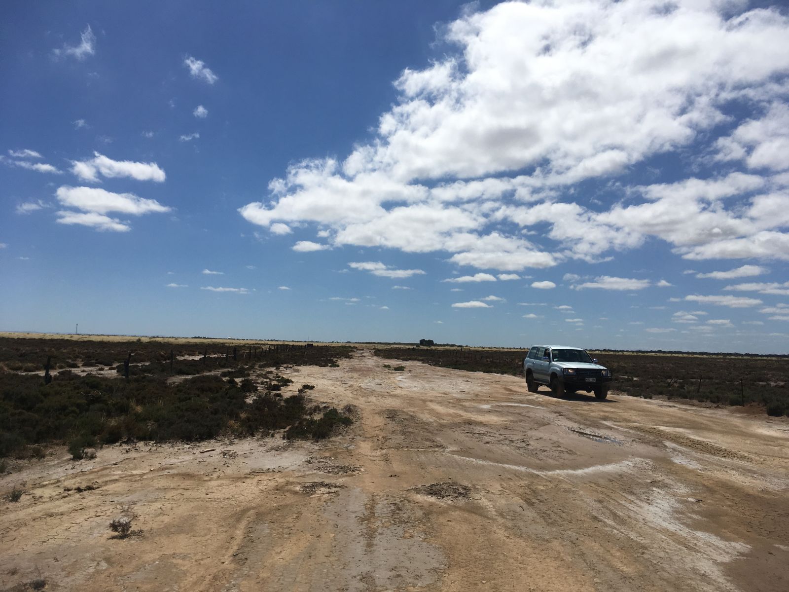
So, a few factors here.
- We are only about an hour from home.
- There is every chance that in a couple of weeks this will be bone dry.
- What’s at the end? Probably the same bit of coast we have already seen
- Probably could have made it though, I had compressor, MaxTrax, etc, if we didn’t. I’m not shy of using the right pedal when required. However, had we already found some cool shit? Yes. Would it give us a reason to come back? Yes. Alright, this road went nowhere, but do I like being that guy who makes the first big trenches? Nope. Did I want to get covered in mud before lunch? Nope.
It’s often a big technical hill that makes me ask ‘do I need to go down/up there?’ but sometimes it’s something like this. If I was somewhere I wasn’t likely to be back again anytime soon and there was something cool to look at, at the end. I probably would have aired down and gone at it hard. But this fell on the side of turn around and come back another day. Maybe I just hate airing down for 100m of trail!
Anyway, big skies!
So, just before we turned around, there was this cross roads (on the way back). Not marked on the map, not even on the Hema, with no ‘no access’. Anyway even less used tracks. Next time.
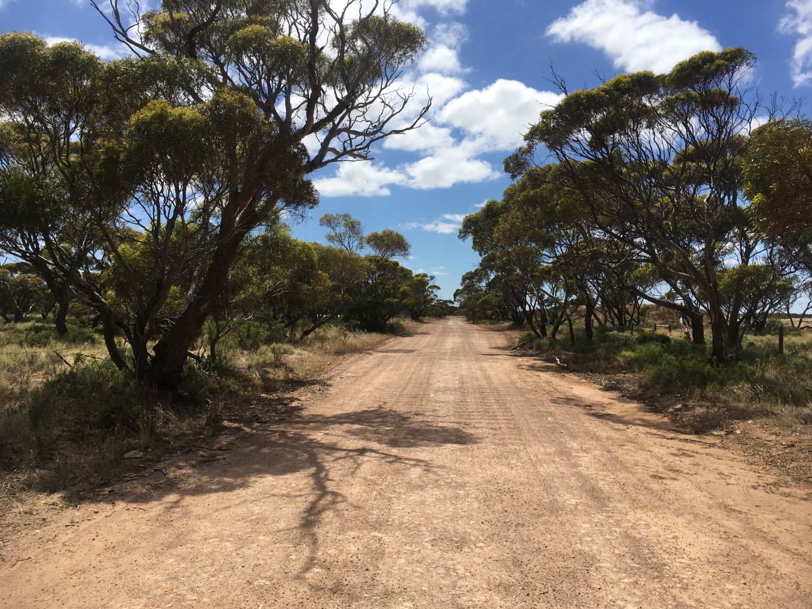
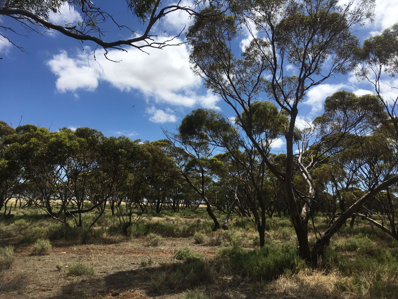
So on the drive back out to the highway, I stopped at one of the pockets of native bush that dot this area. So it must have once all been like this? Before being cleared for crops, which as I’ve said half have been given up on. I guess eventually the native stuff will reclaim what is theirs.
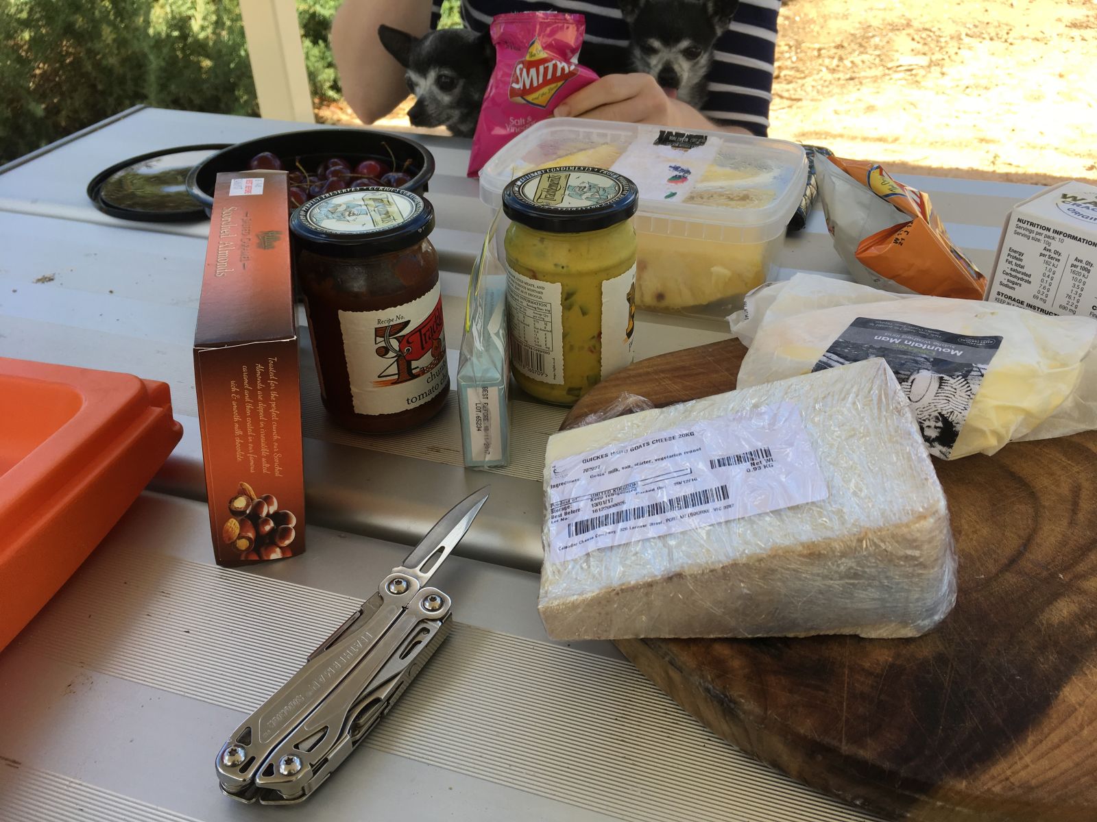
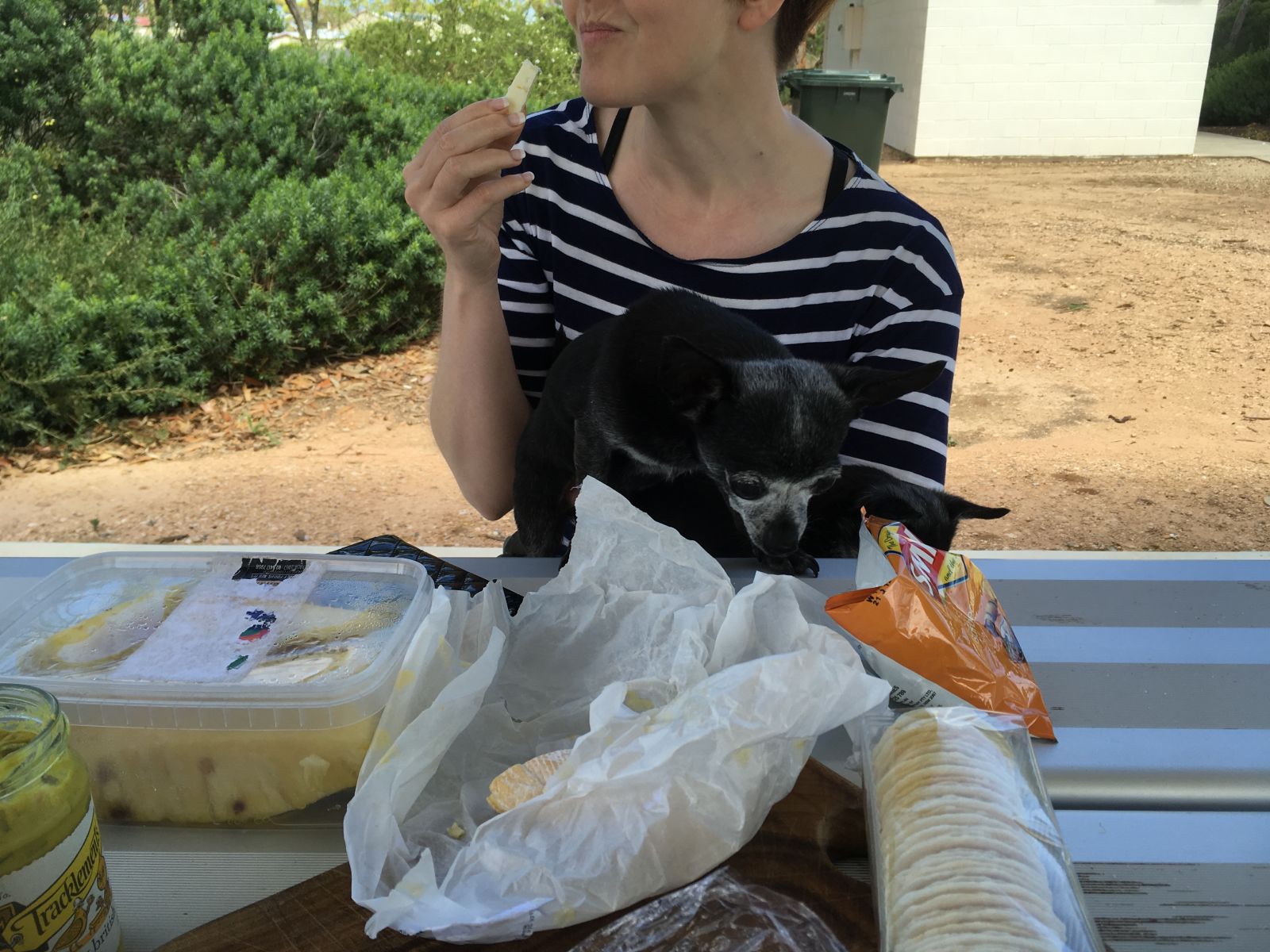
Back on the highway we headed up to the cool little town of Dublin to use their picnic area for picnicking.
While up this way I wanted to check out a beach track I was pretty sure wasn’t accessible. It was easy to take a 15 min drive down the road now to confirm my suspicions. So we headed out to the shack community of Parham. Sure enough, you get to edge of this land and that is as far as you go.
If you are wondering what constitues a holiday shack in Australia, when I first came here I pictured something like the building in the foreground. However it is more likely to be something like the building behind it, if not grander.
If I was going to build a permenant holiday place, this flat featureless coastline wouldn’t be my choice, but each to their own. Also I just like going to places I haven’t been before. So a good little drive. Time to head for home.
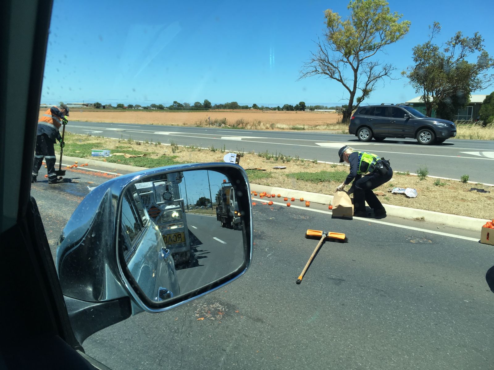
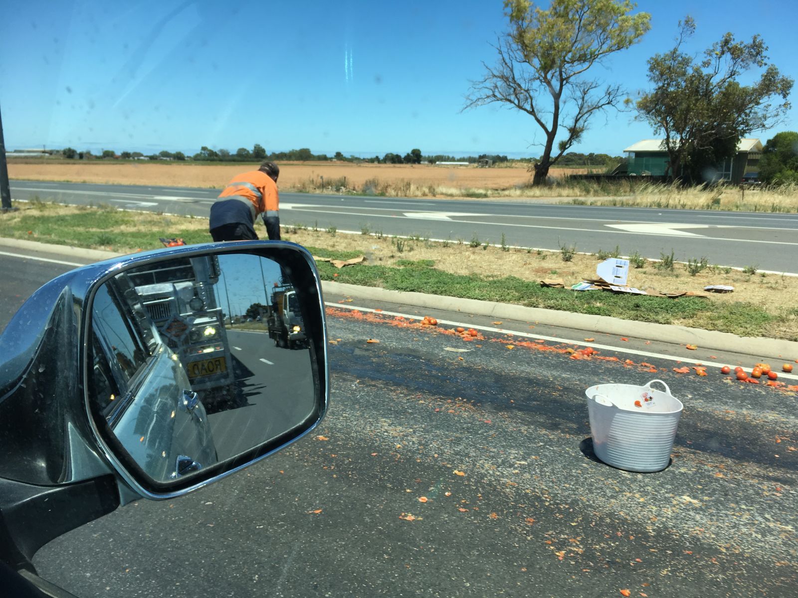
Got a bit of traffic on the run home. Unfortunately the cause was red stuff all over the road..
Thanks for reading along. Here’s to a great and dusty 2017!