
I had one main goal on my trip to the Smokies. I desperately wanted to see Elk in the wild like I had a decade ago when I vacationed out west. I knew they were popular in the Cataloochee Valley so we drove 150 miles round trip to get a view of my favorite animal.
We started out pretty early that morning and left the park on Newfound Gap road, the main road through the north and south of the park. Starting at an elevation of about 2000 feet and rising to over 5000 feet this road offers roughly 35 miles of breathtaking views criss crossing mountians and following a river.
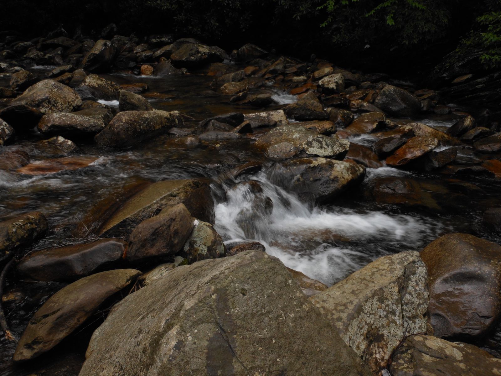
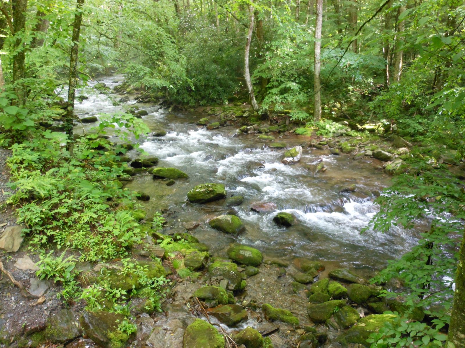
The river was the West Prong of the Pigeon Forge river and I surprised at how mellow the river was while we were in the park. Rain had been forecast throughout the week and the weatherman had been correct. It rained every day of our trip. But nevertheless the river didn’t seem to overflow or seem to strain at the massive volume of water that was following north to exit the park.
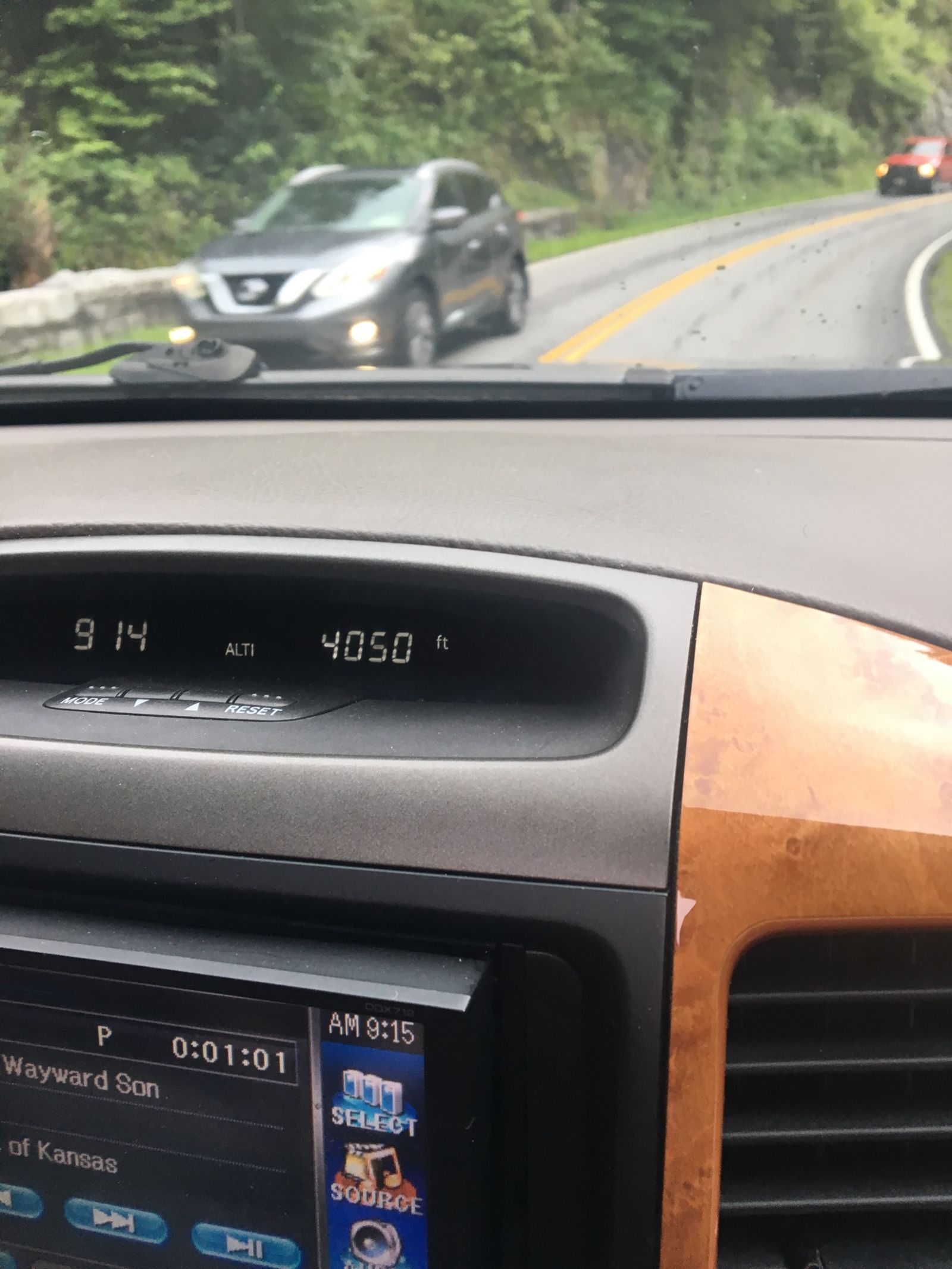
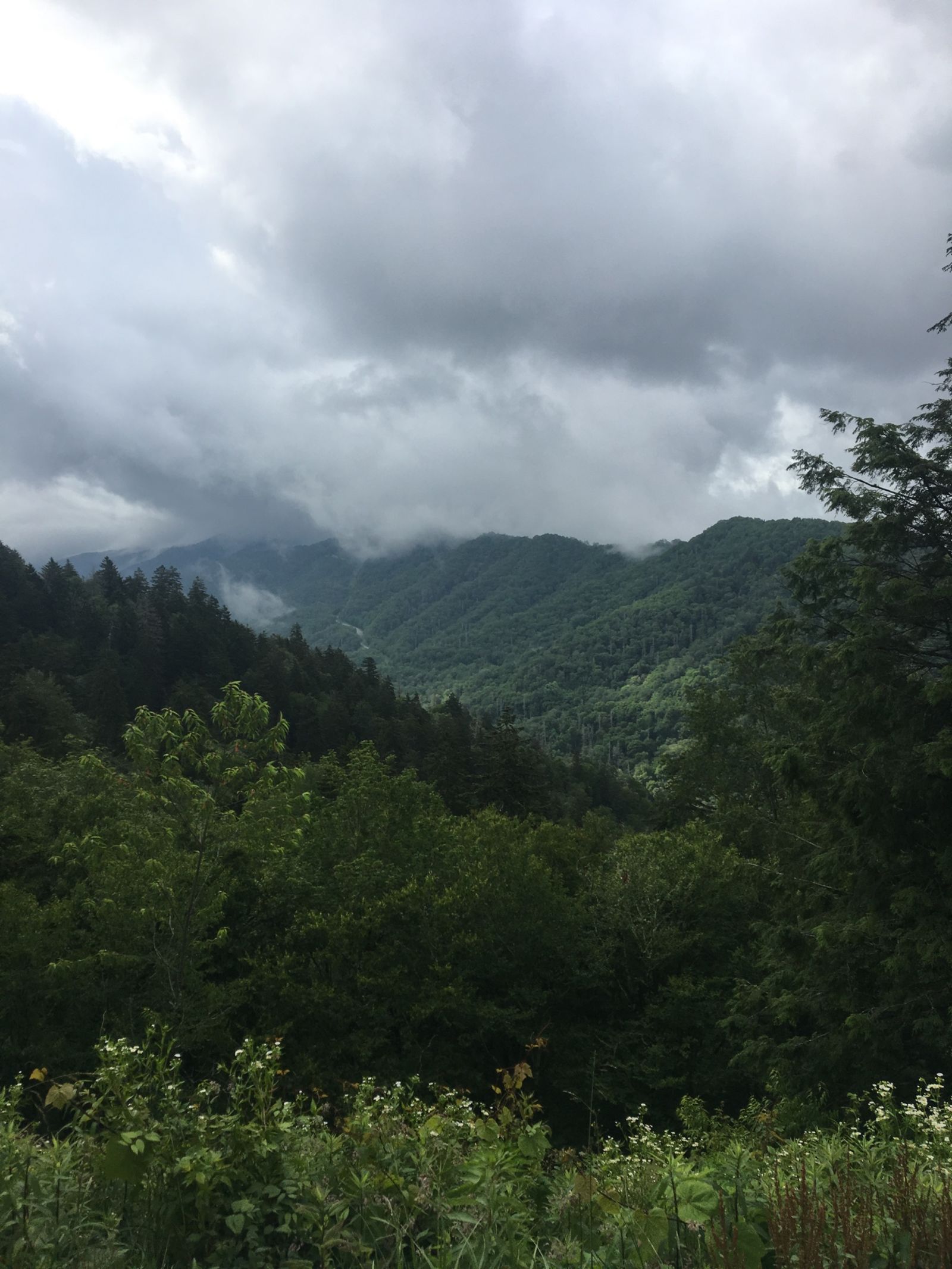
The road offered countless pull offs and luckily at eight in the morning we were the only person on them really. When I was a young lad I it was a bucket list goal of mine to touch a cloud. I was able to fulfill that goal on trail ridge in RMNP however, it was just as fun and fulfilling to do it here as well. I also enjoyed the novel toy of fun having an elevation readout in Lexy. In Ohio I am stuck between 500ft and 1200ft most of my life so when I get the opportunity to rapidly change elevation and stand in mile high air I geek out.
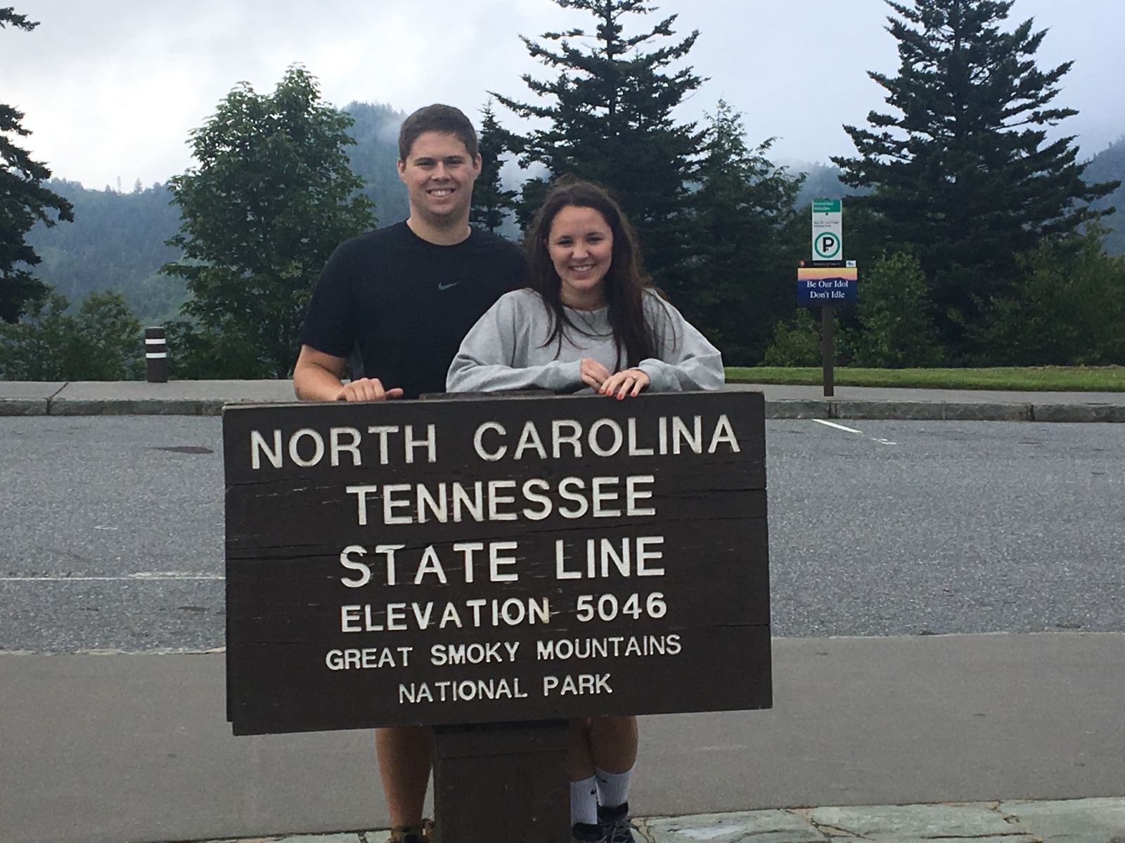
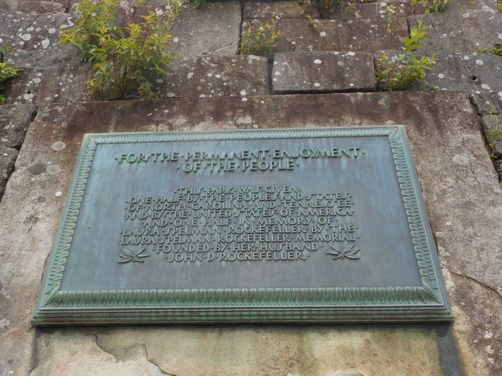
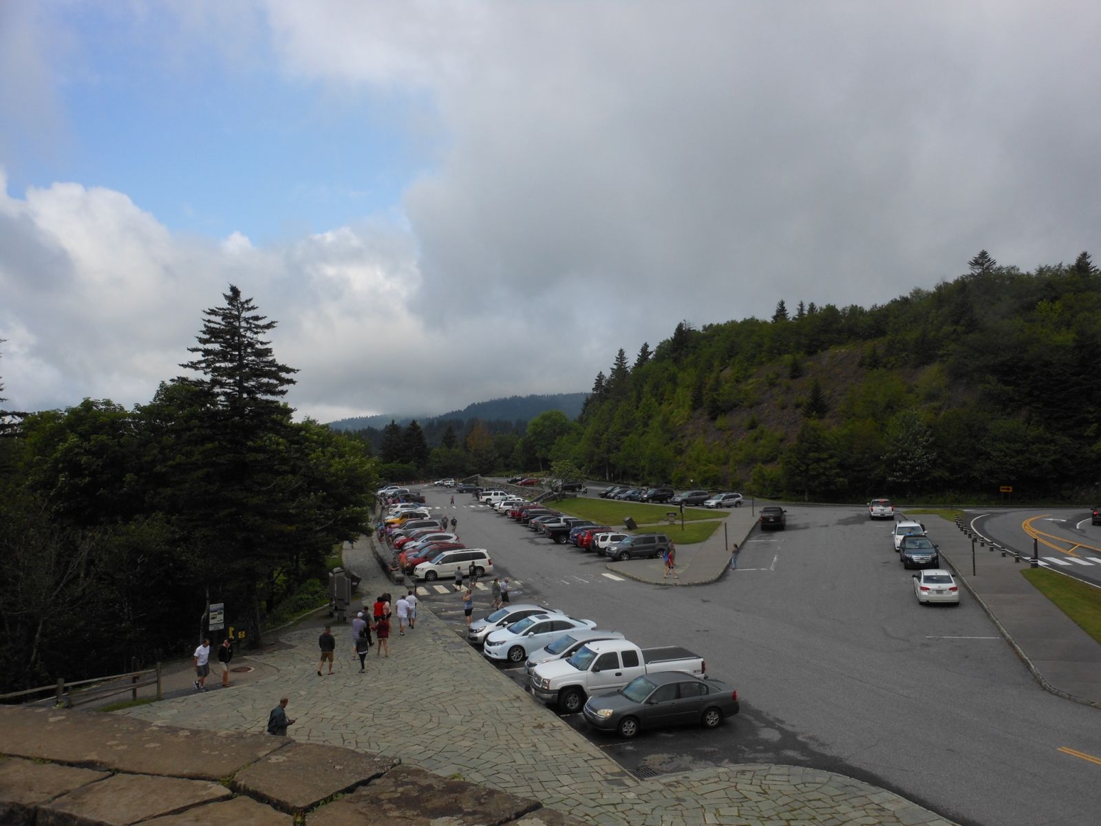
Newfound Gap is the highest lookout point on 441 and about the halfway point of the route. It is also a significant historical point. Newfound Gap memorializes one of the countries greatest conservationist, John D Rockefeller Jr. If you want to skip the rant that is about to follow do so now............... Okay here is the rant. Jr. spent millions, likely billions today, buying land for some of America’s most beautiful national parks. The Grand Teton valley, and likely most of the park would not have been possible without Rockefeller. Half of GSMNP was bought and donated by Rockefeller when the community couldn’t raise enough money. Acadia, Yosemite, Shenandoah, and other parks were also made possible by the generous donations of Jr. Yet, all that memoralizes him is this rather plan monument at New Found Gap and the road that connects Teton to Yellowstone. Perhaps it is just me but such generosity warrants a park, a visitor center, or something more significant named after Jr. Today people tend to act like the rich of the early 20s were Robber Barons but much we know and love today including some of the counties greatest national parks would not have been possible without Rockefeller Jr.
Okay rant over.
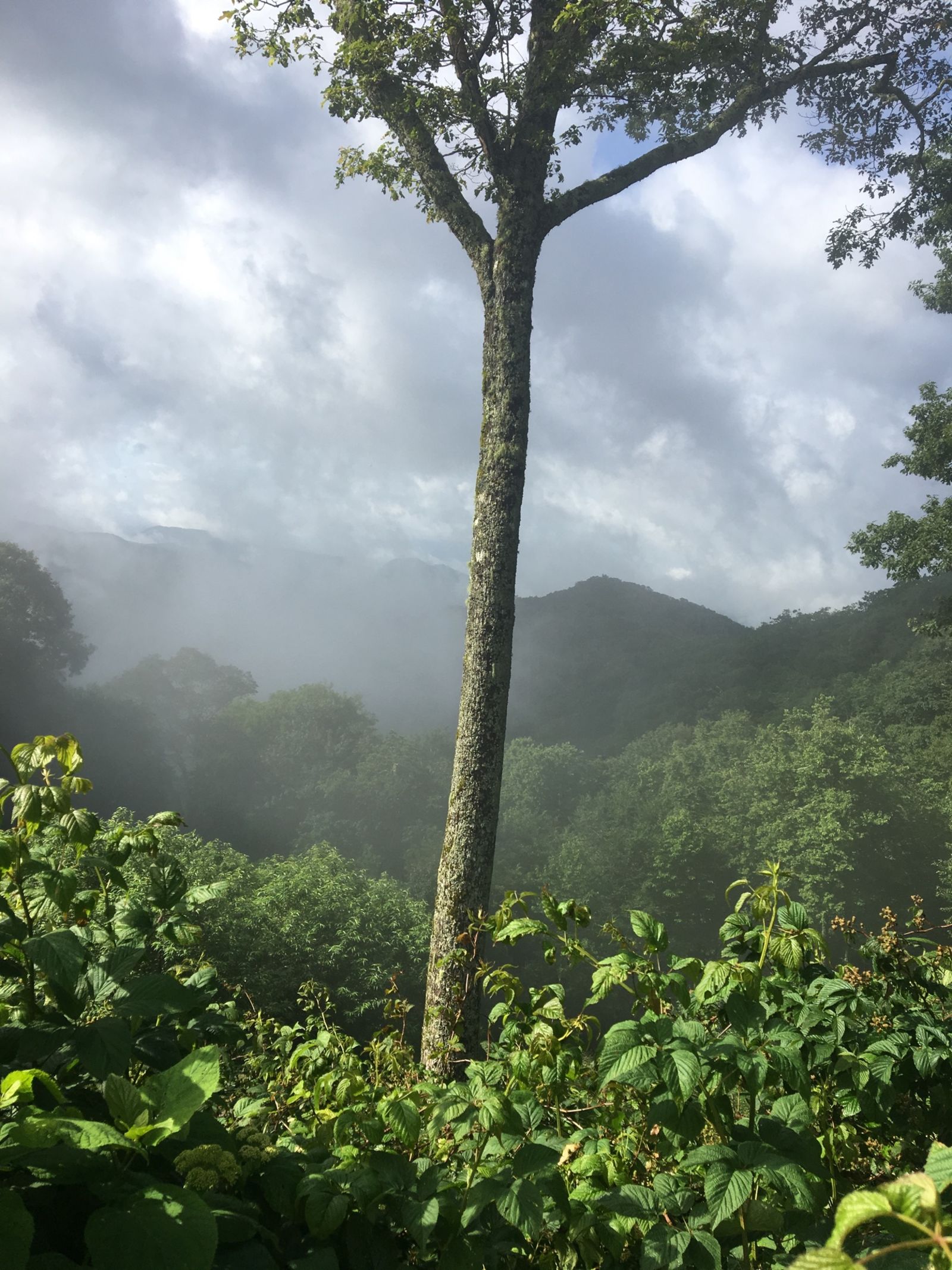
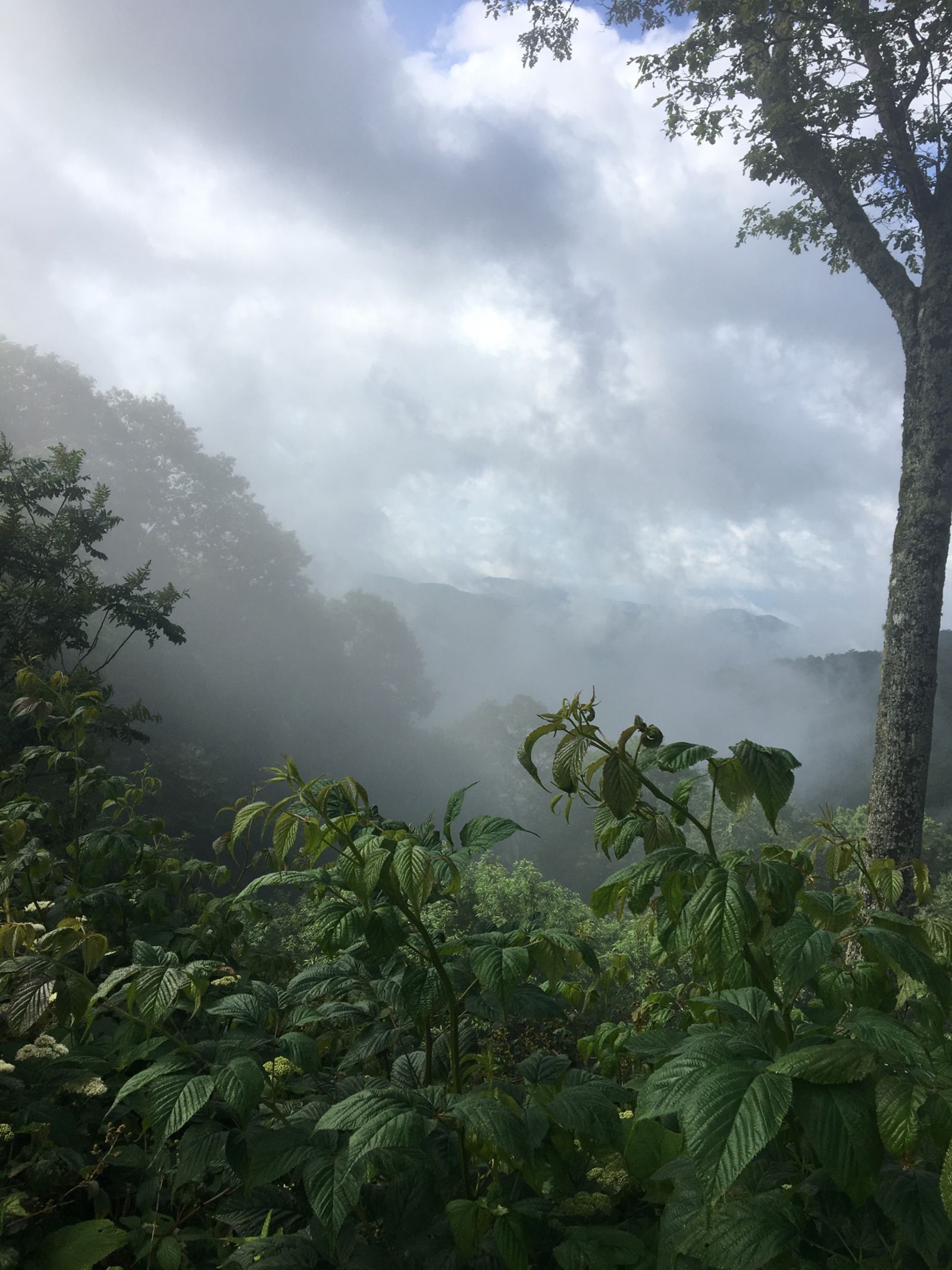
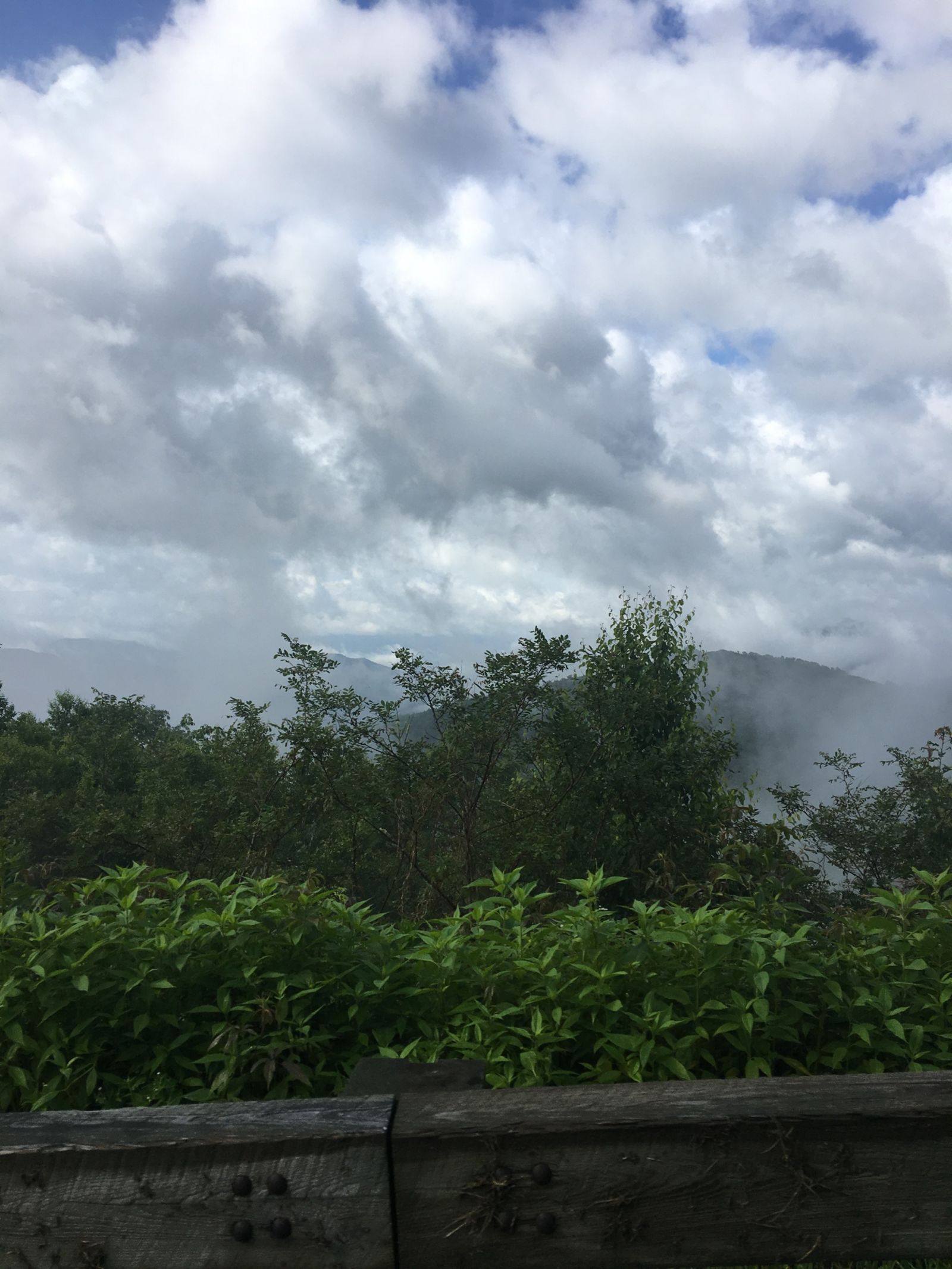
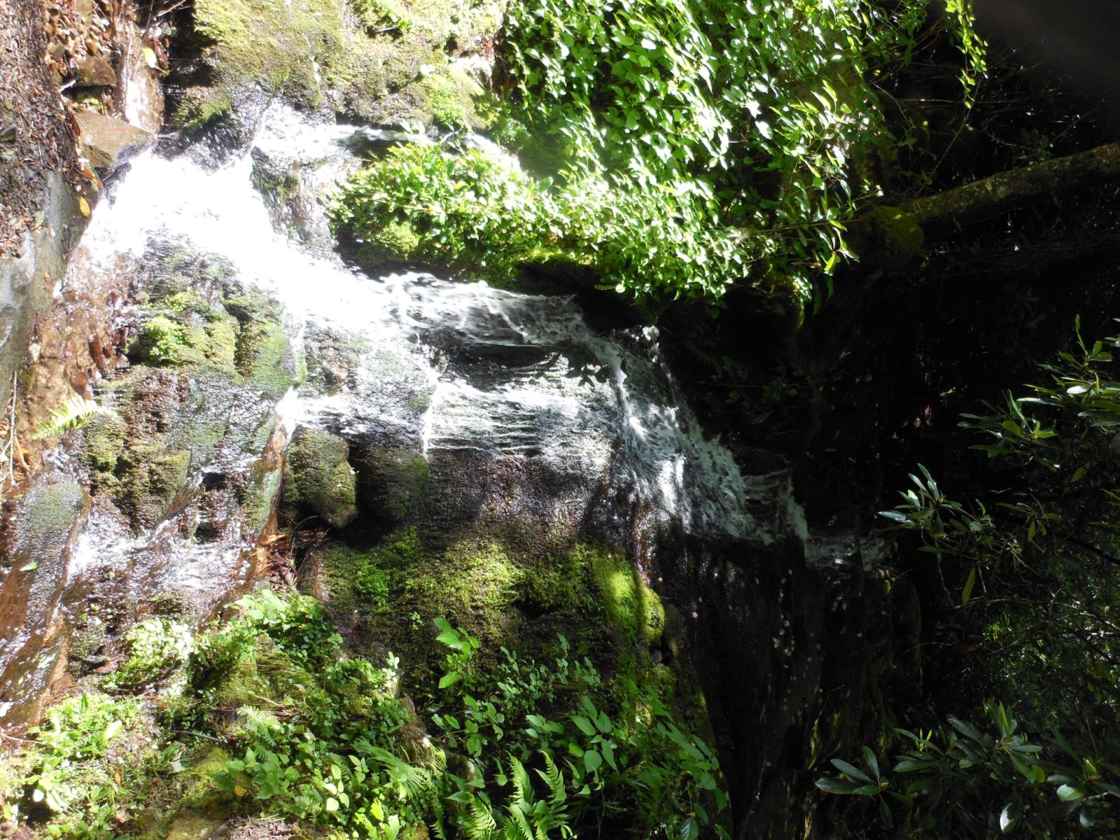
More photos from 441. The morning air and the crisp greenery filled with life was breathtaking.
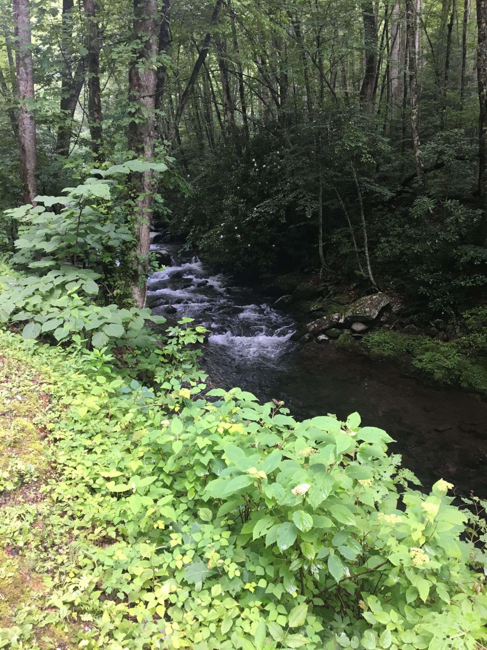
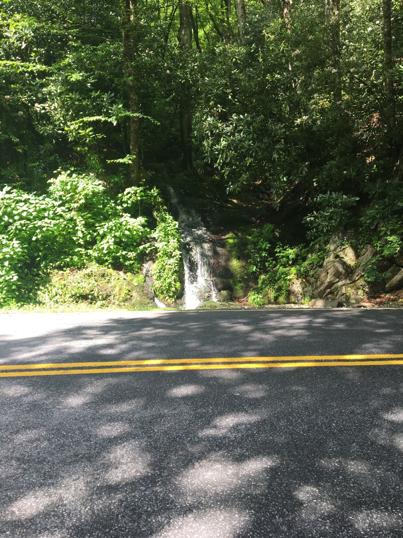
More streams and pretty things on New Found Gap road (441). Small history note here. New Found Gap was discovered in 1872. Arnold Henry Guyot, a Swiss geographer, measured many Southern Appalachian elevations. His work revealed Newfound Gap as the lowest pass through the mountains, displacing nearby Indian Gap. When the lower, easier crossing was discovered, it became known as the “newfound” gap.
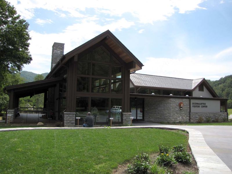
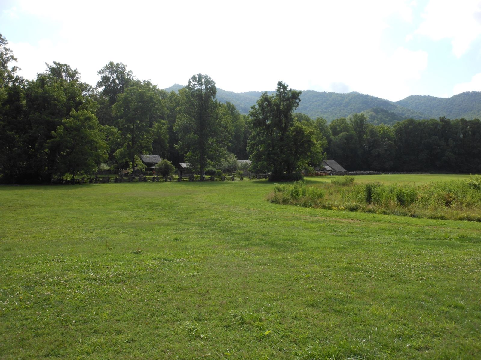
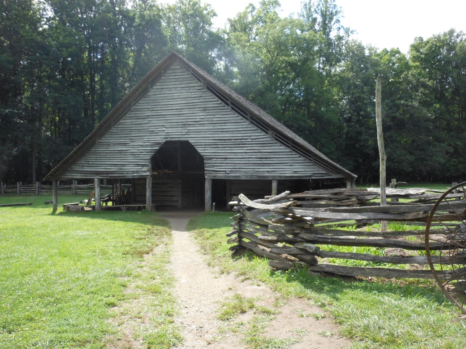
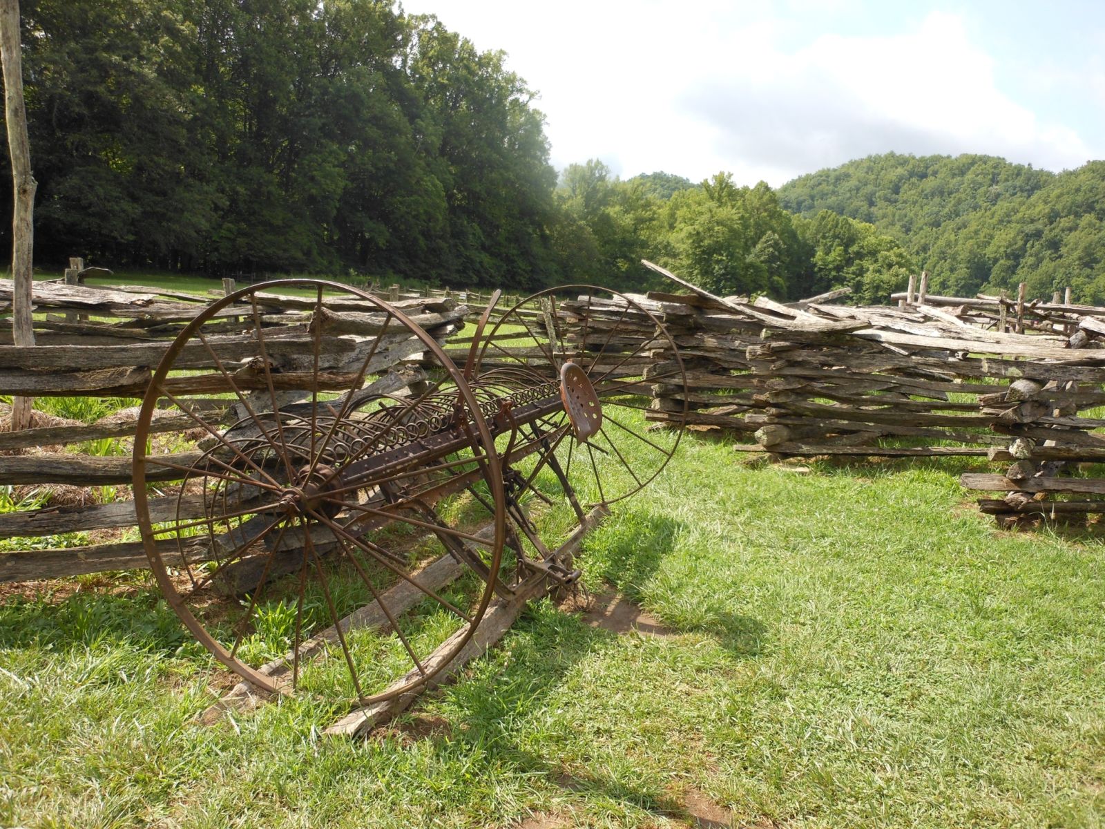
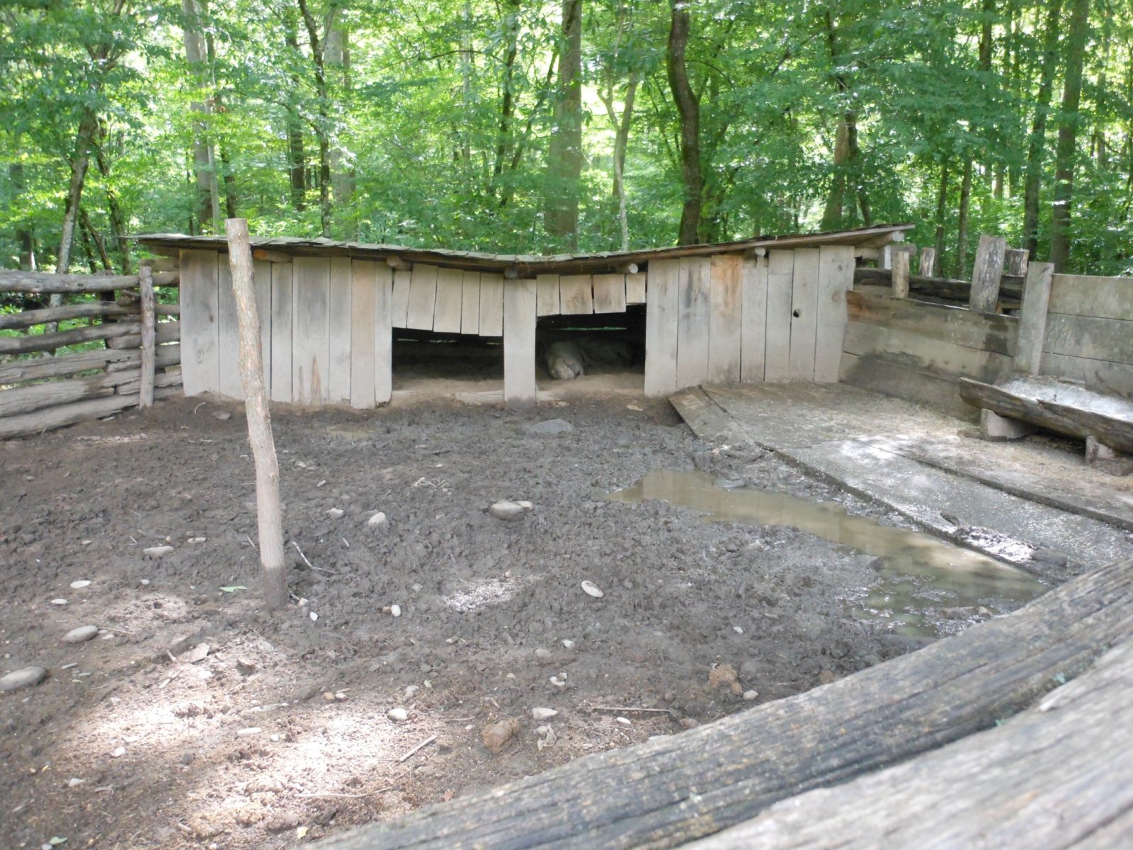
The Oconaluftee Visitor Center is a great stop if you want to know what farming in the Smokies was like over 100 years ago. It humbles you to see how our ancestors lived compared to the luxuries we have today. The ability to make these intricate wooden structures with nothing more than simple hand tools reminds me how lucky I am to have a drill to build a deck with today.
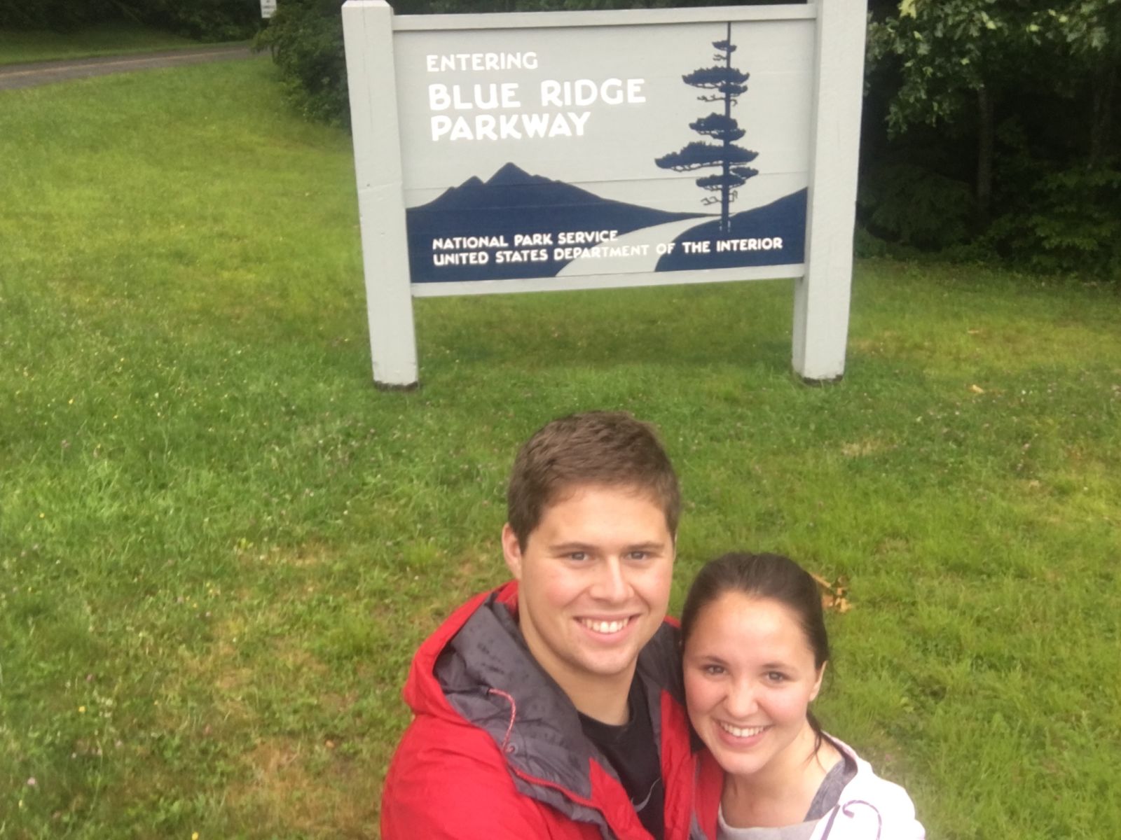
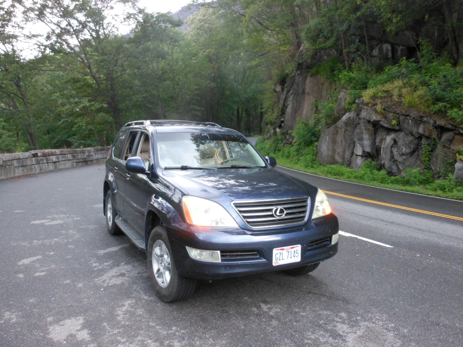
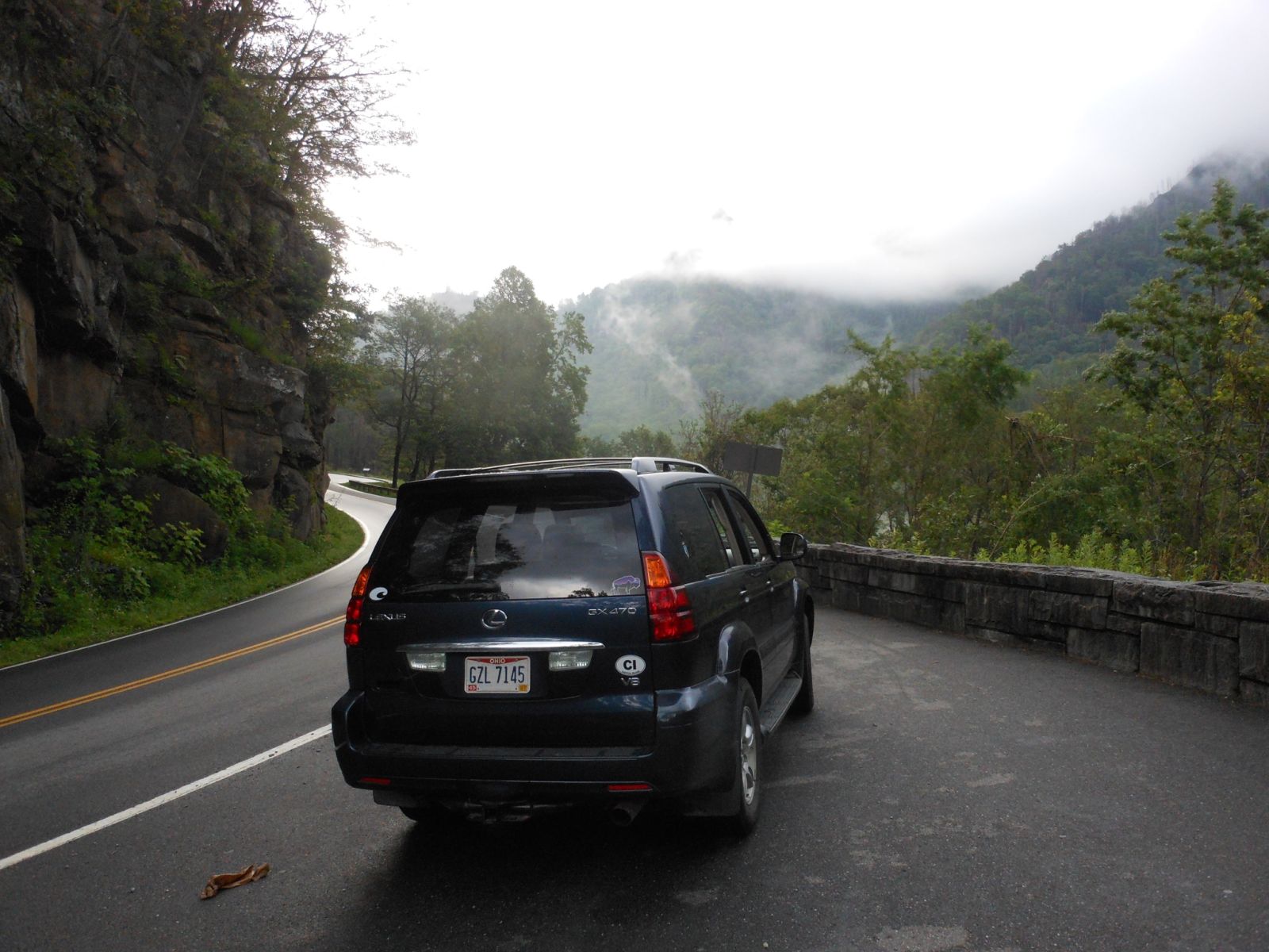
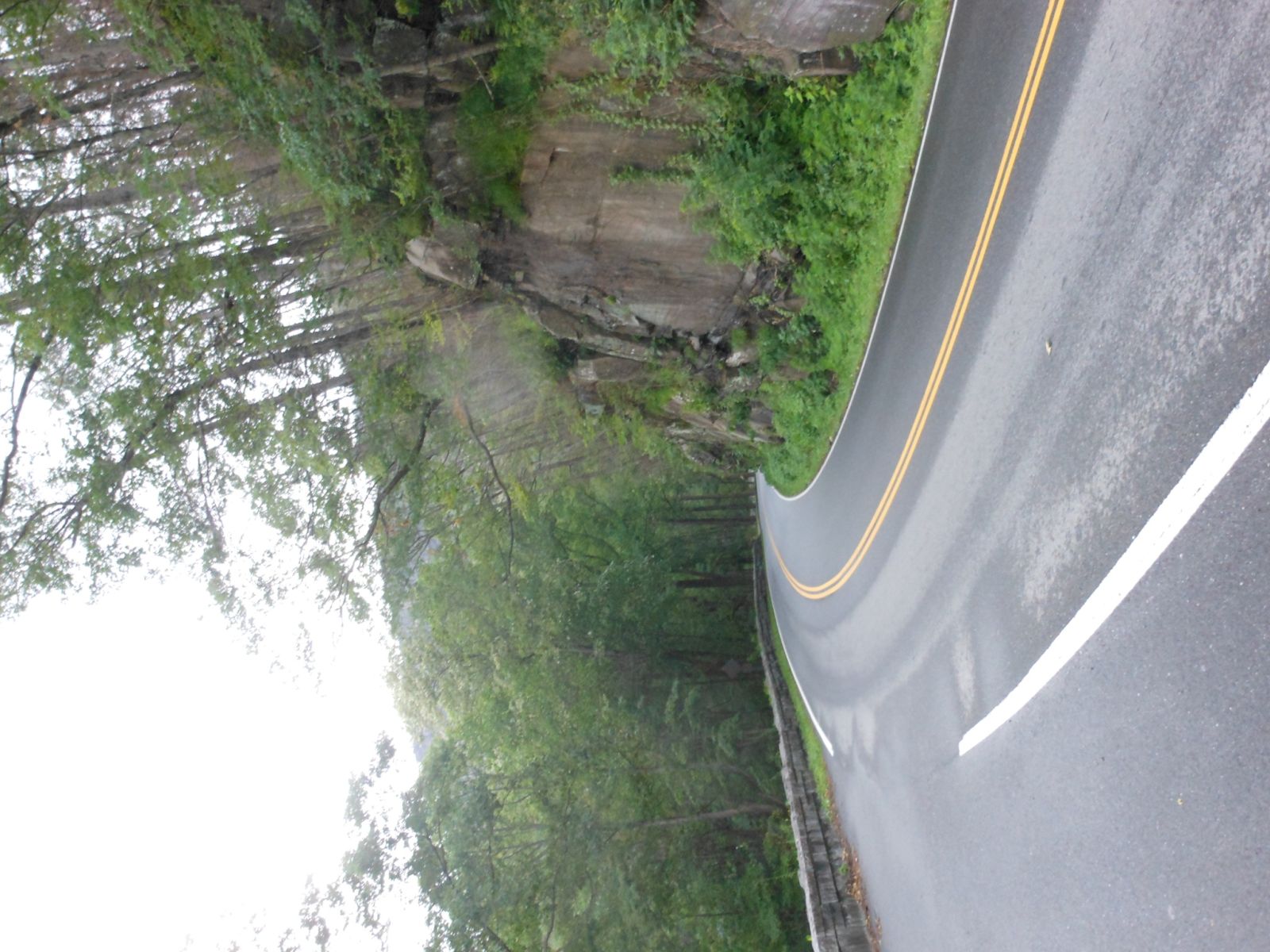
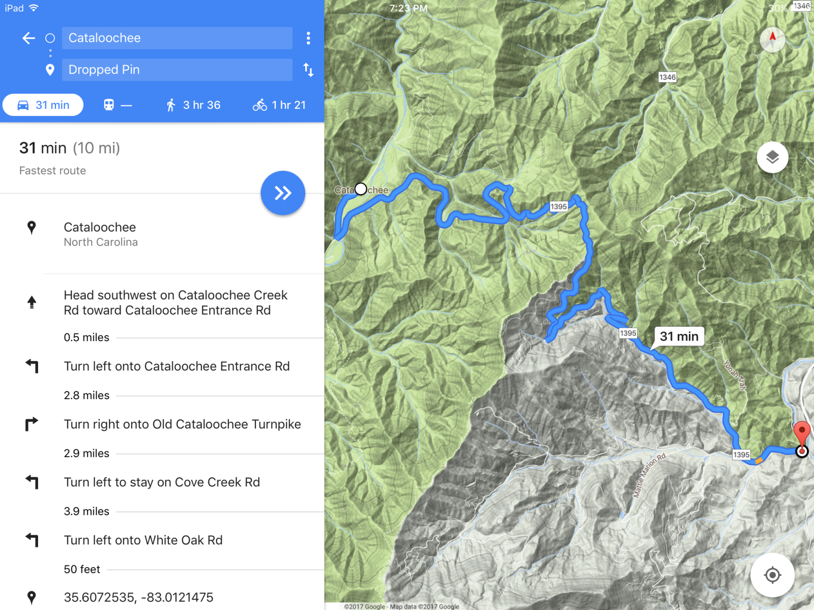
Another obligatory photo. To get to Cataloochee Valley from New Found Gap you have to exit the National Park. Fortunately the Blue Ridge parkway starts here and goes part of the way to Cataloochee so we exited 441 before Cherokee and got on Blue Ridge. Unfortunately the weather was cloudy (smoky?) so no beautiful vistas but it was still better than taking the countries roads south of the park.
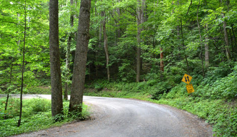
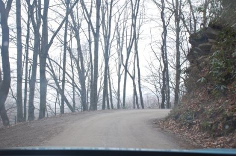
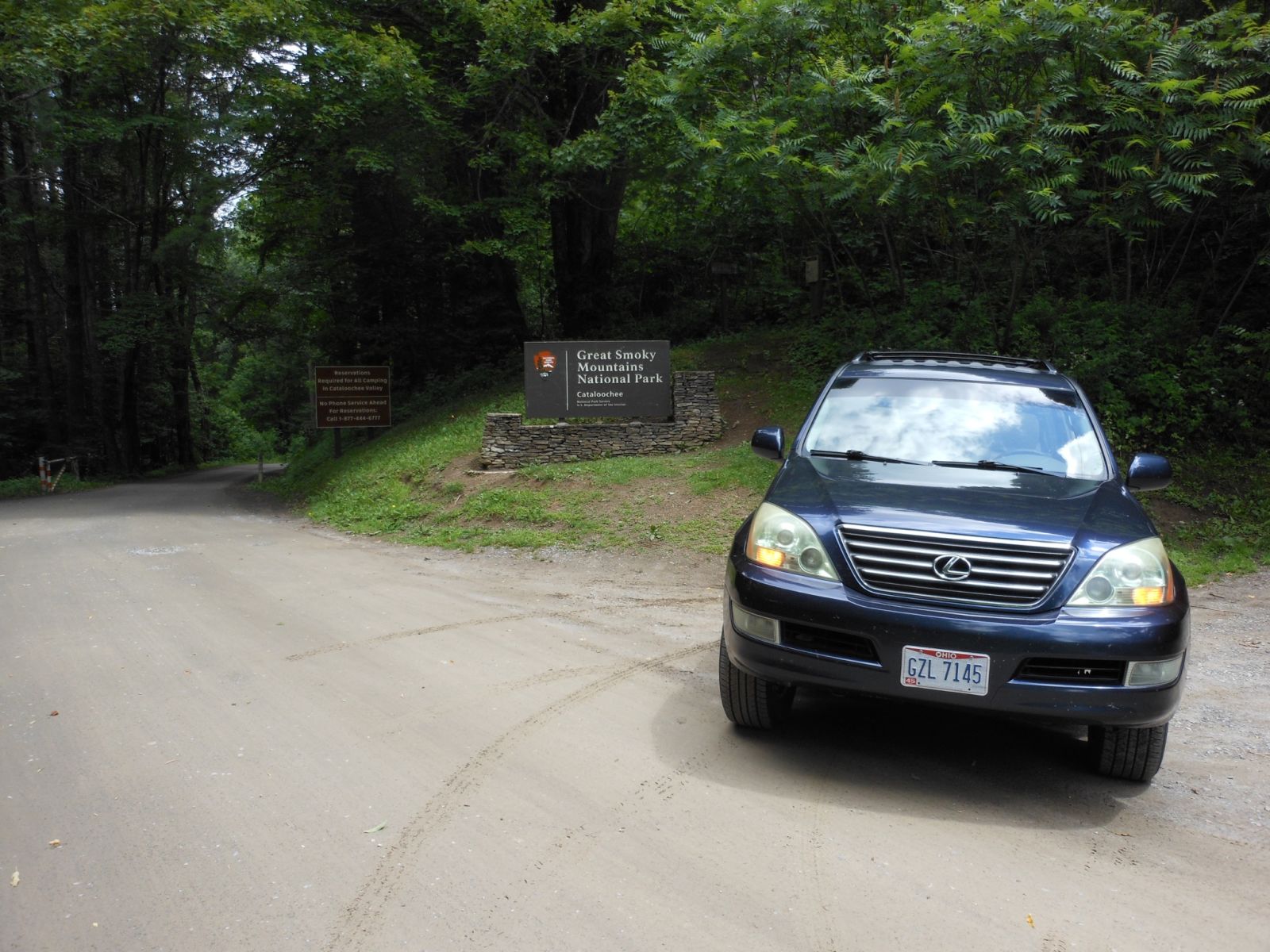
The road into Cataloochee was one of several dirt roads in the national park. I was surprised how technical it was because a campground sits in the valley of the park. While I welcomed the dirt and the lack of crazy tourist it wasn’t exactly the most challenging dirt road I had ever been on. But like I said if you plan on taking a camper you have been warned it is tight for a larger vehicle.
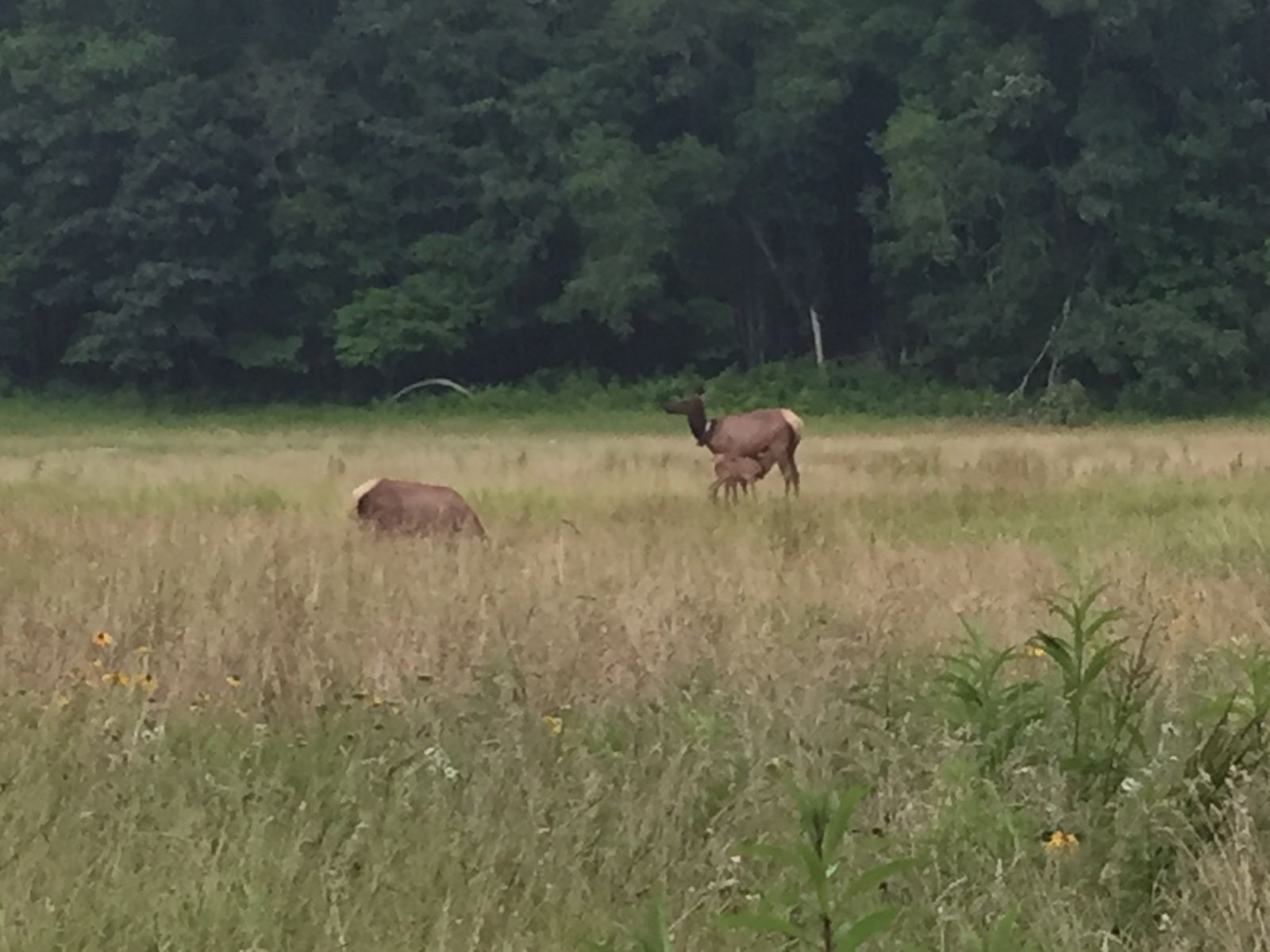
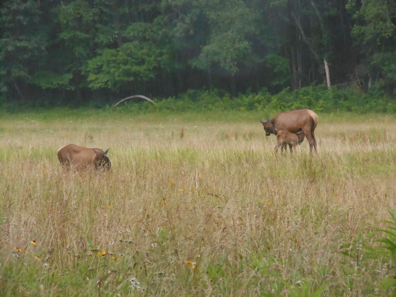
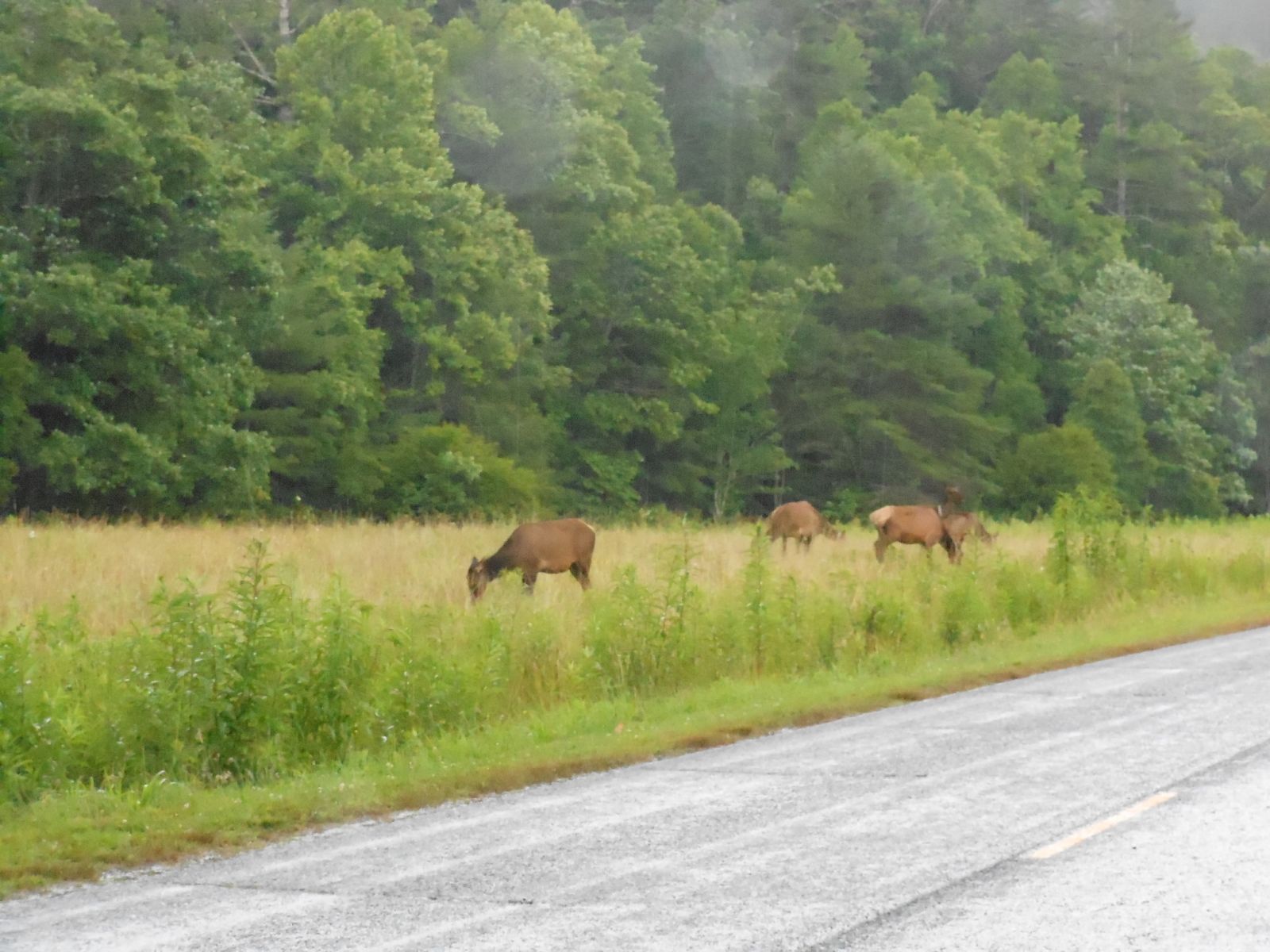
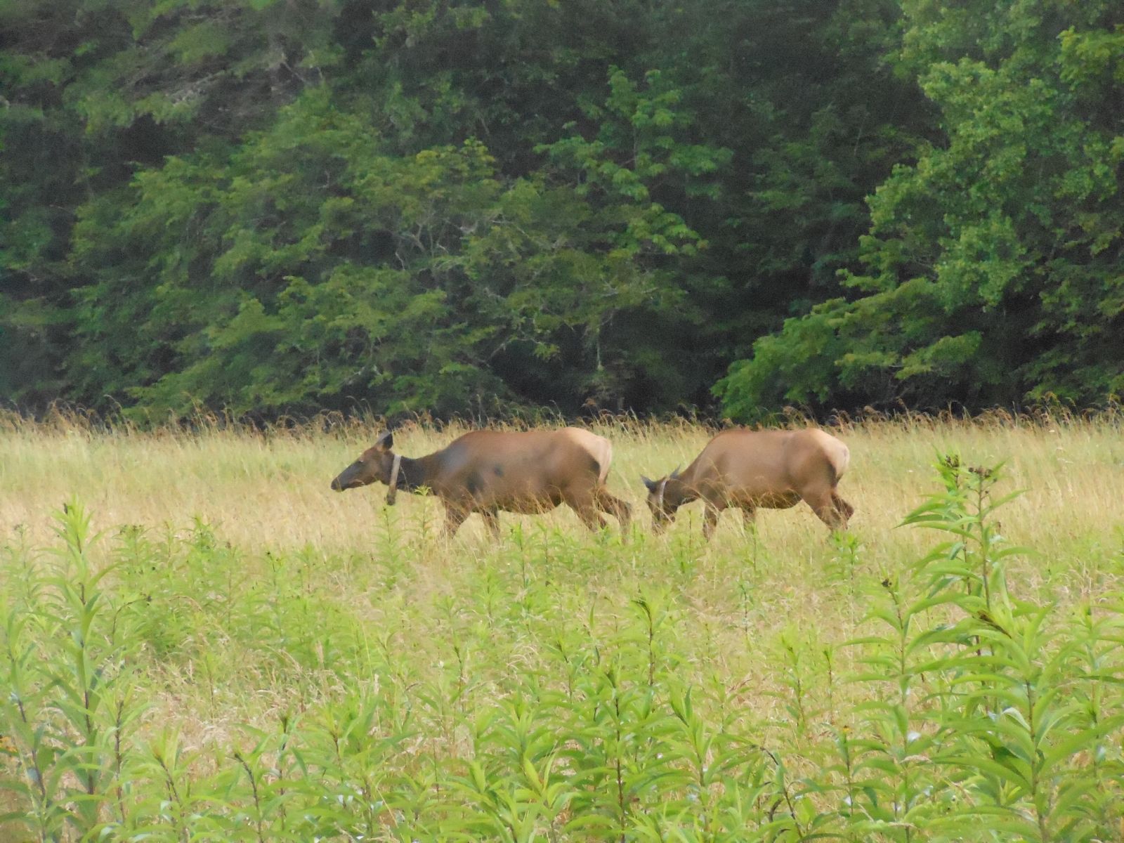
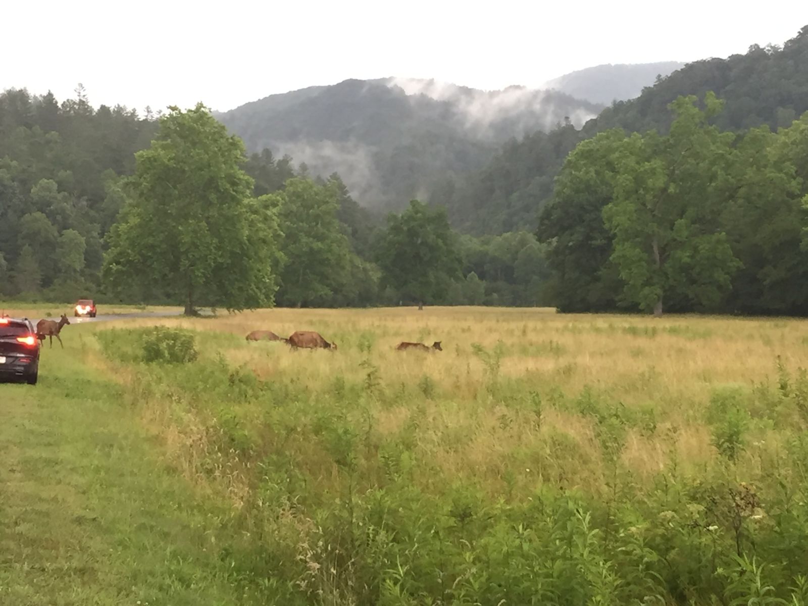

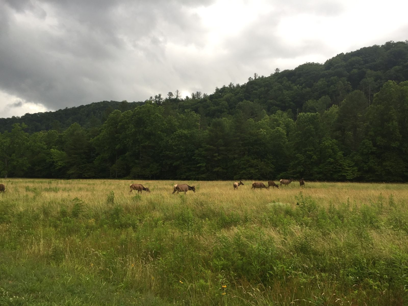
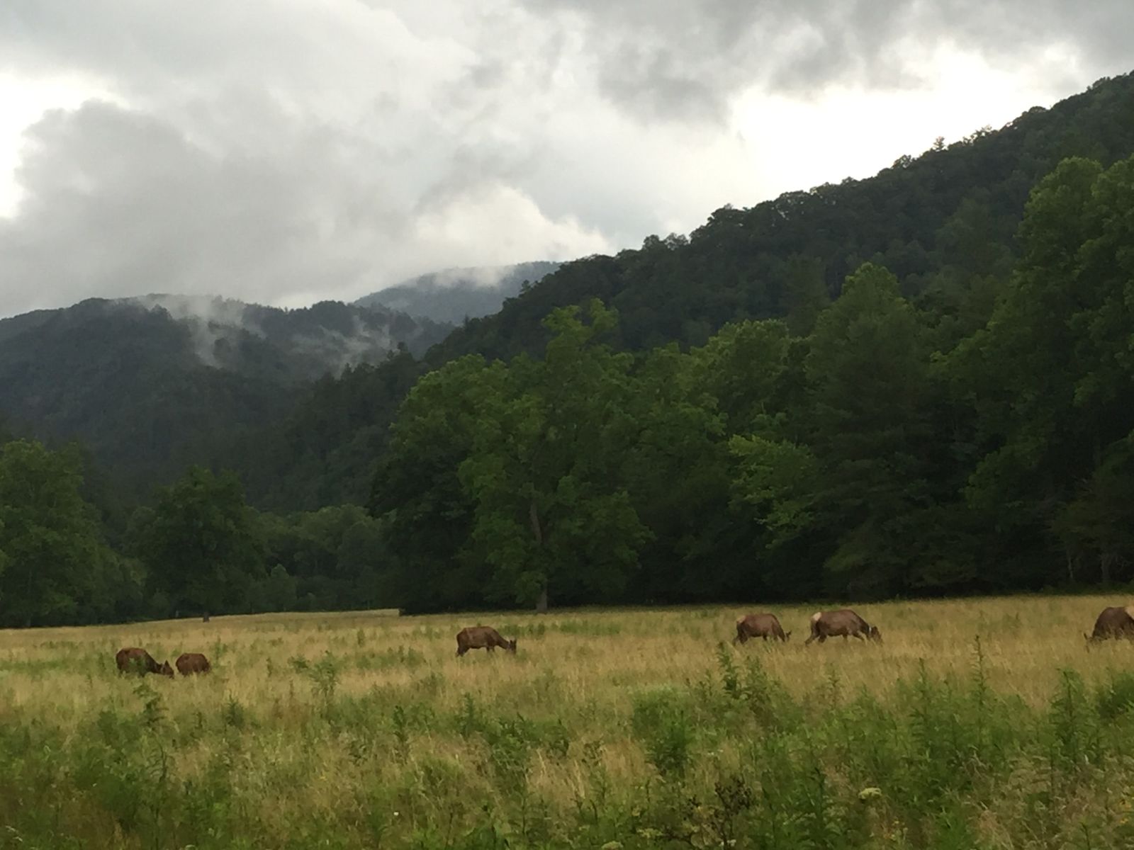
I was so happy to drive the 3+ hours it took to get to the Valley and find a herd of elk. Unfortunately all were cows, I would have liked to see a few bulls. Nevertheless, I’m glad to see elk in the wild east of the Mississippi. It is horrible to think how efficient we are as humans when it comes to killing animals. Effectively extinguishing bison, wolves, elk, and other fauna like a swarm of locus. Bringing the elk back to the park, according the the rangers, has been a very successfully experiment. Without any natural predators (I don’t think black bears prey on full grown elk) I will be interested to see if the park has to reintroduce wolves to manage the elk herd in the future.
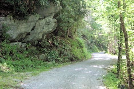
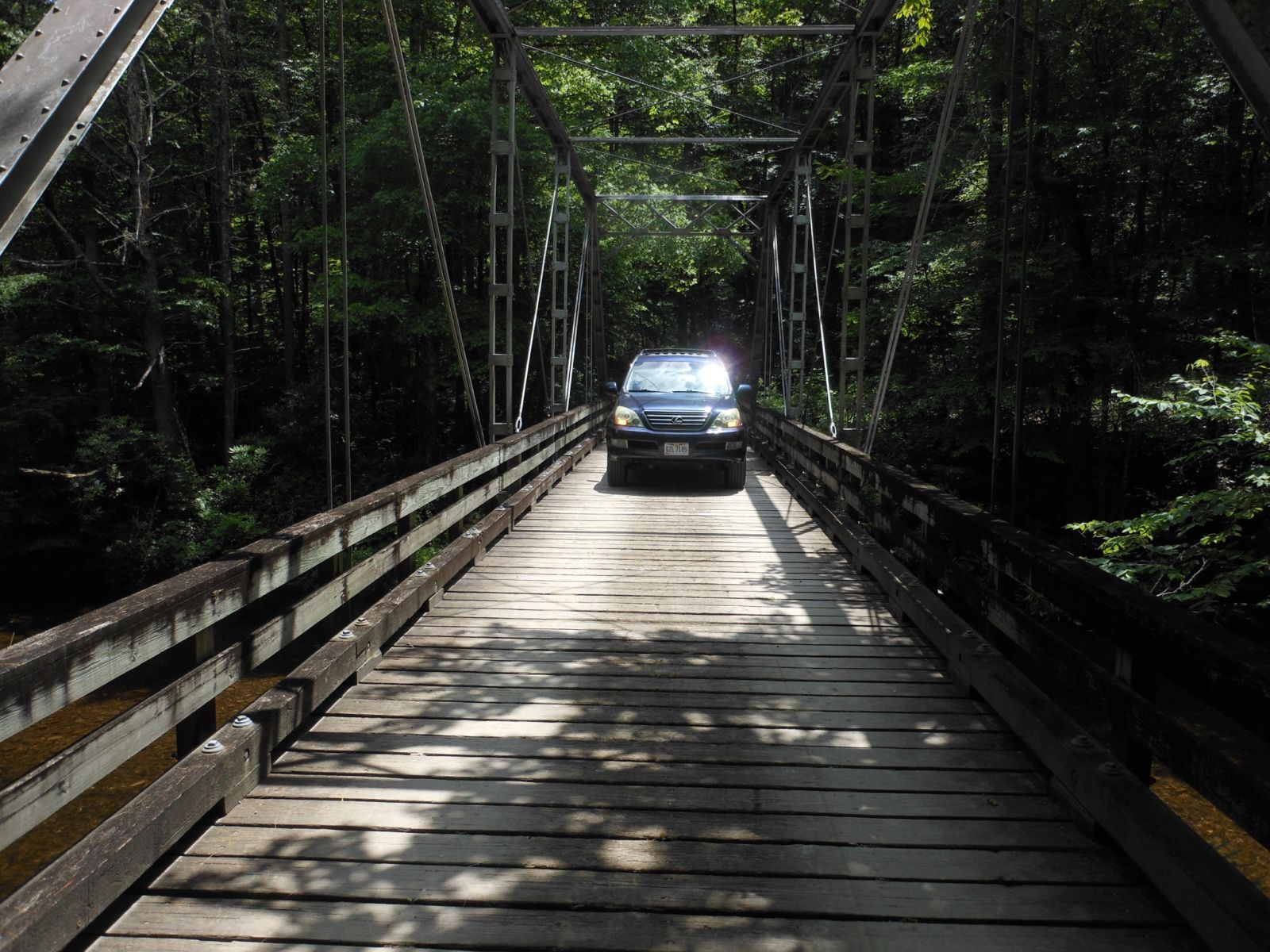
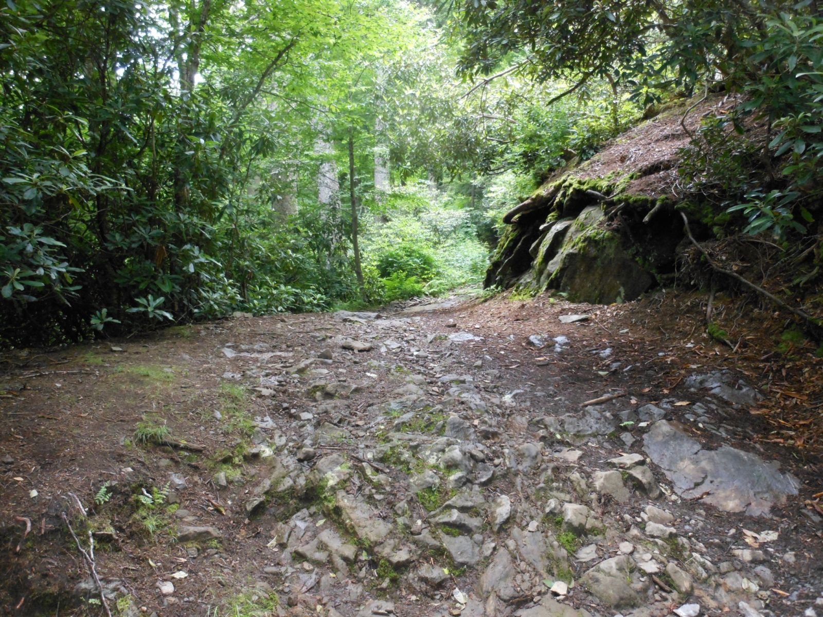
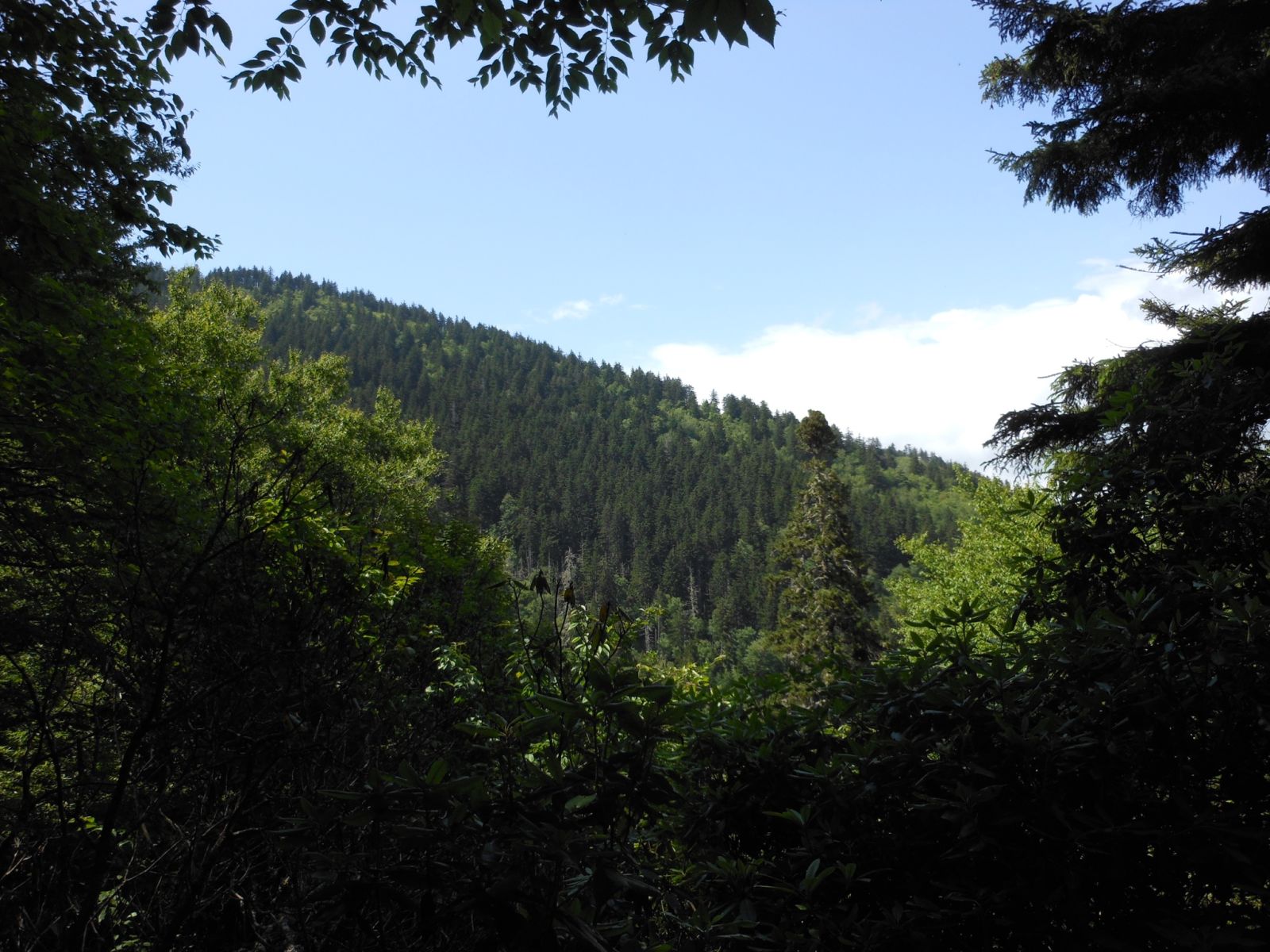
After visiting Cataloochee we took the harder, twister, and tougher road to Mount Sterling. The road as you can see from the picture on the bottom was full of sharp rocks at some points that were very unforgiving if you drove a little too fast. We drove through the one lane bridge pictured above. It was very rickety. The hike half way up the road promised to be free of visitors, due to it’s remote location.
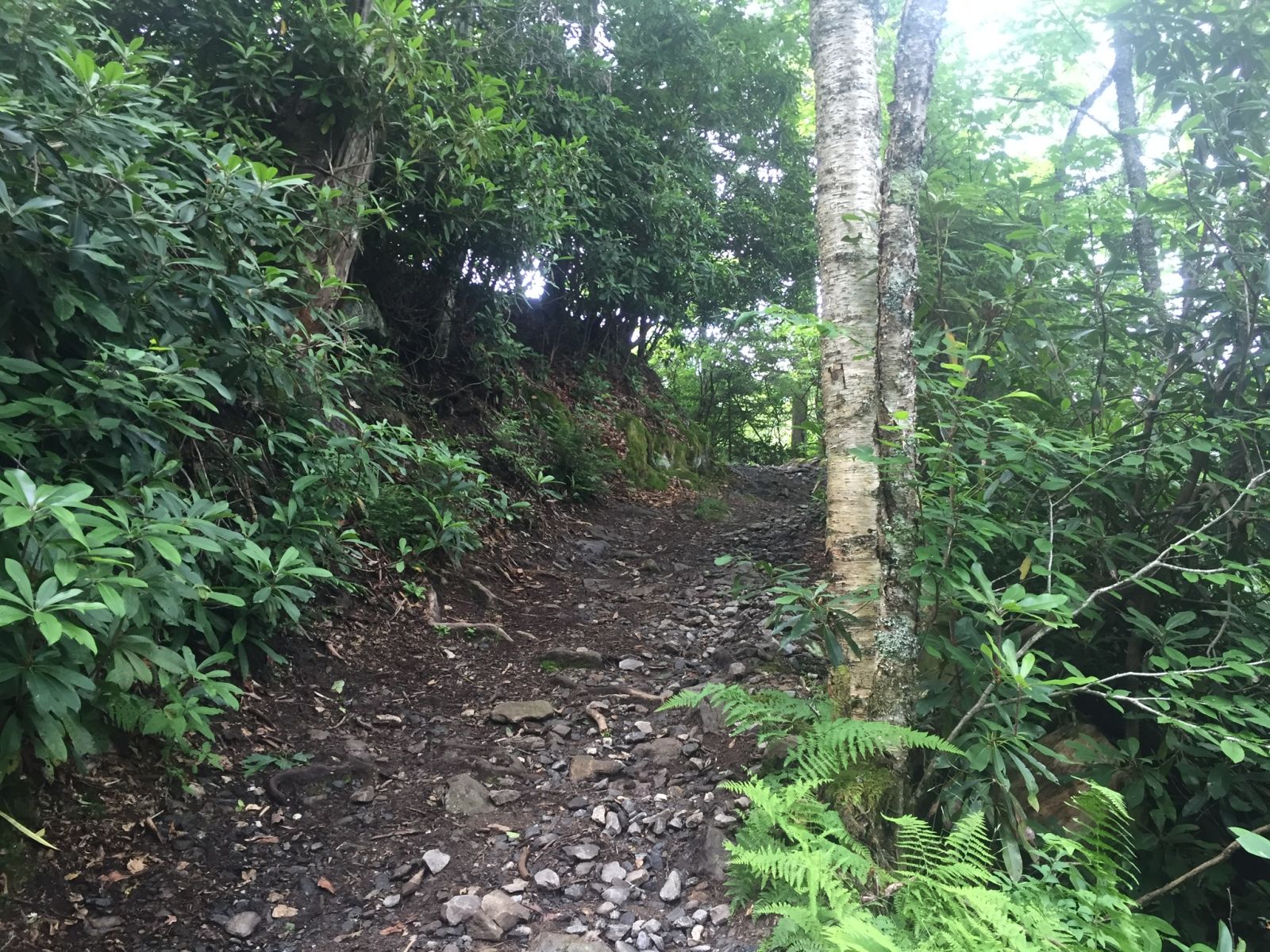
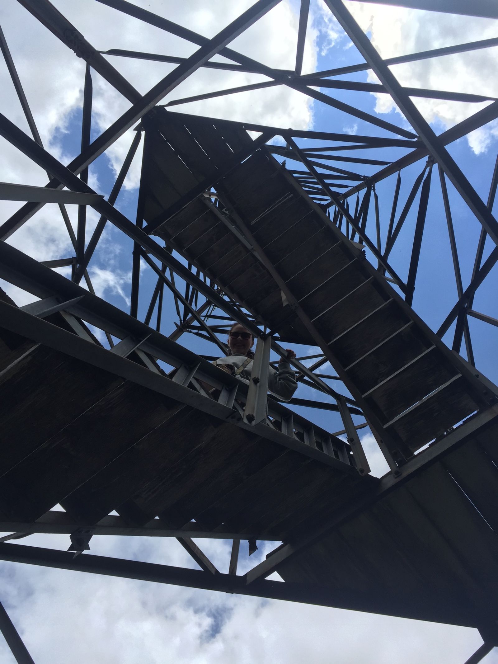
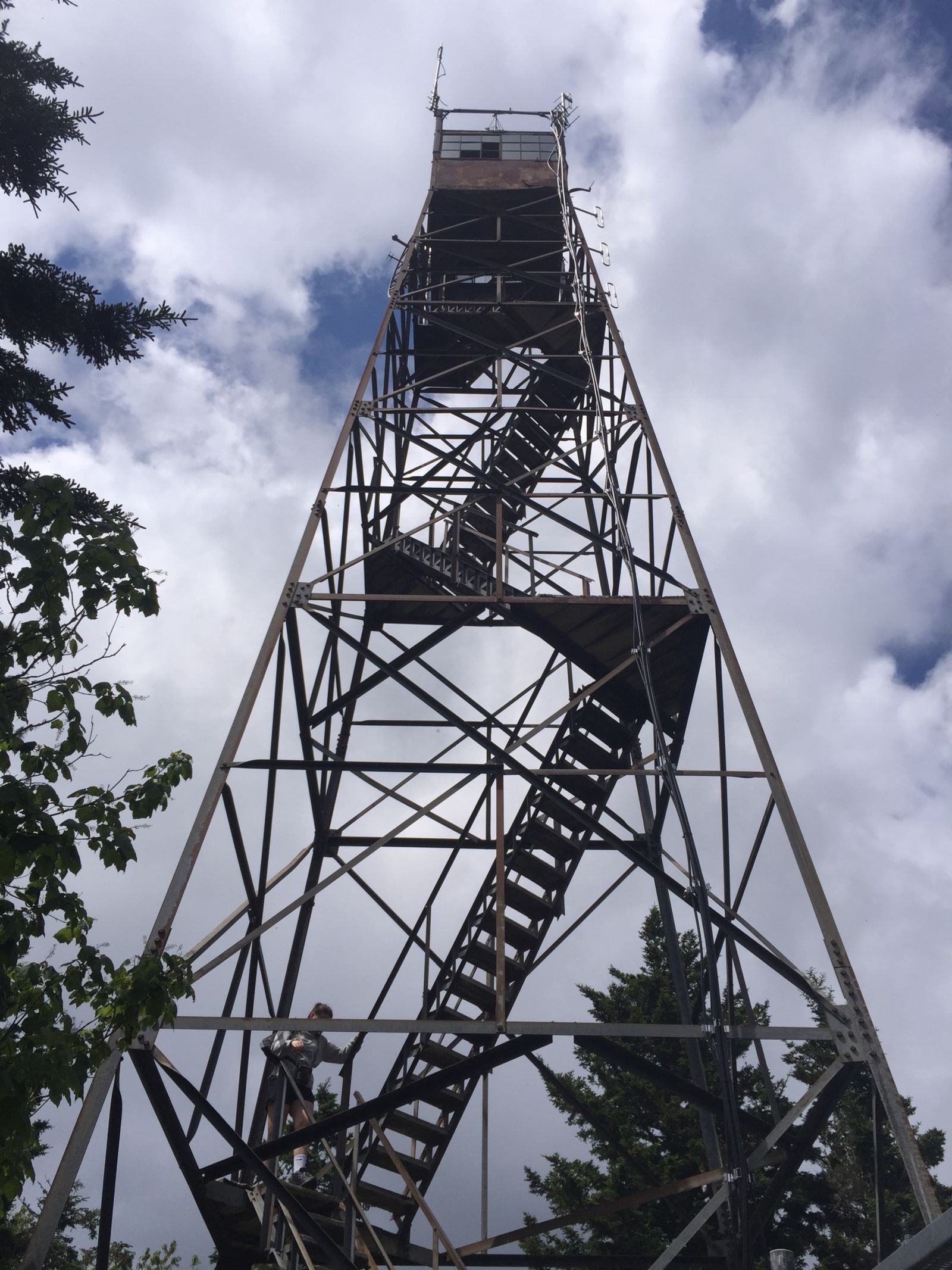
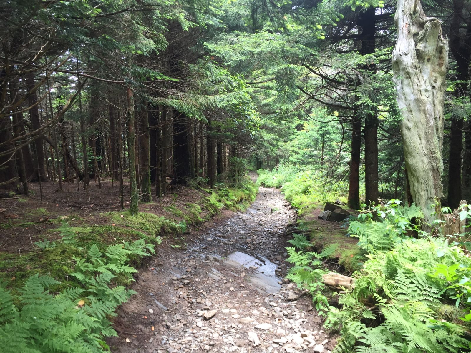
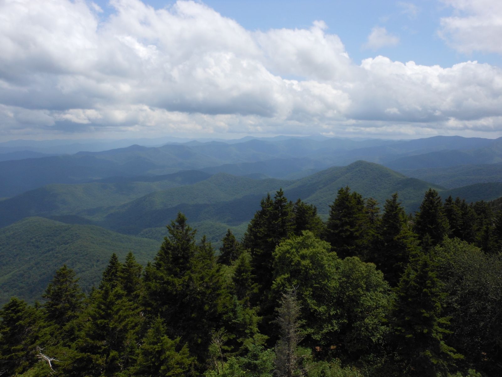
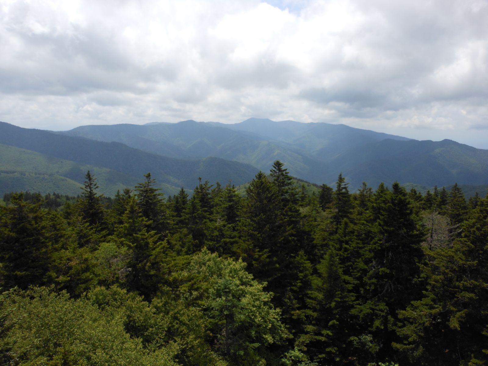
A 2.3 mile hike to the top of Mt. Sterling gained a little over 2,000 feet in elevation along the way. As you can see from the photos though the view at the top was well worth the hike. What makes this 5700 foot mountain special in the park is the remote location and the roughly 60 foot fire tower at the top. The tower, built in the 1930s, needs some repairs however it was sturdier than I was expecting. The ridge at the top of the mountain was certainly my favorite park of the hike. The views were great as was the forest on the ridge.
Those of you that live out west try to cherish the smell of pine. That wonderful smell is something we Ohioans get to so rarely experience, the aroma is as intoxicating to my senses. On top of Mt. Sterling the aroma of the pines hung in the air like a fresh pie’s aroma on Thanksgiving.
Hope you enjoyed part two!